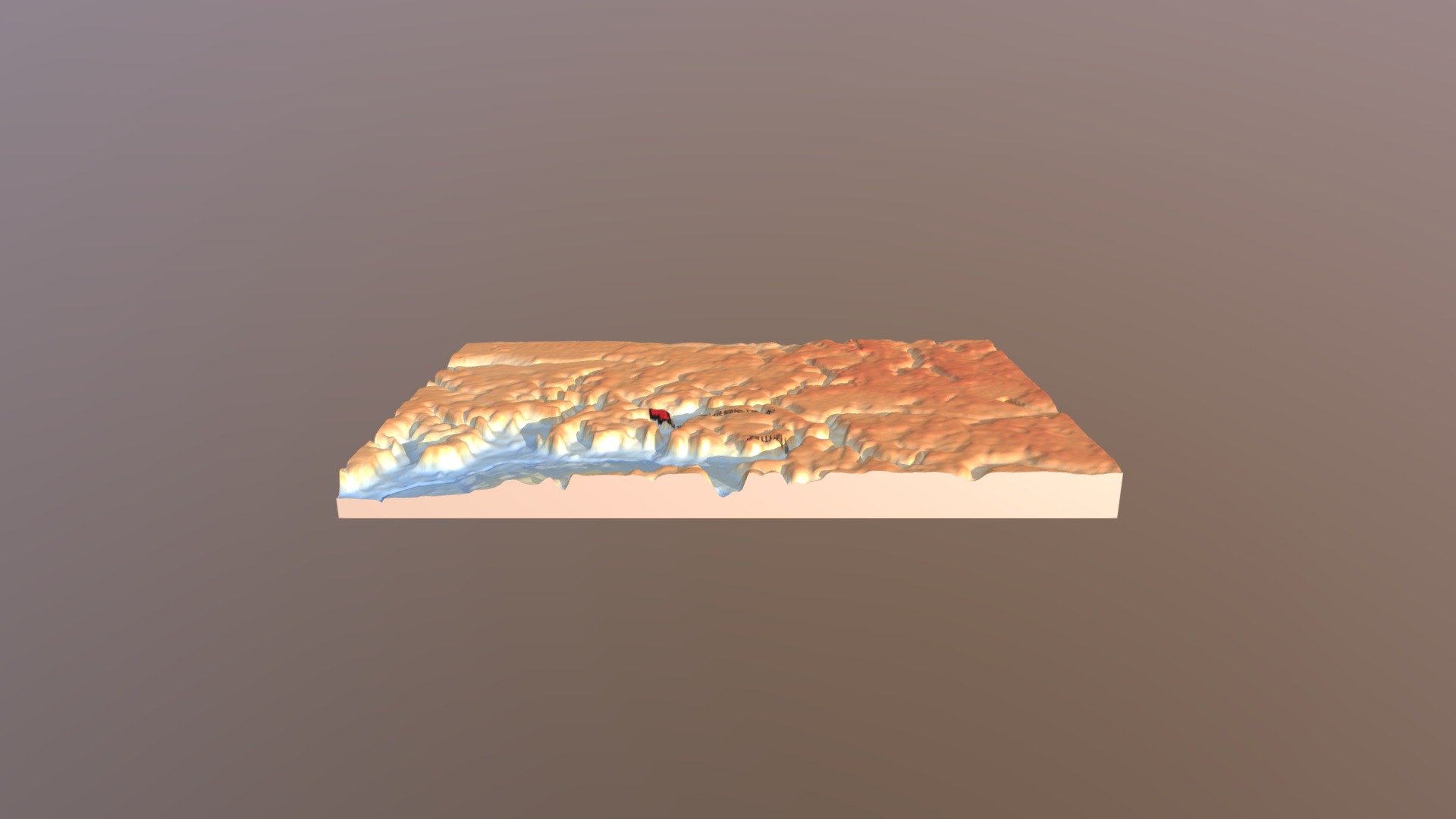
根郷貝塚の流域内位置 地形3Dモデル
sketchfab
Root District Ruins Location: Chiba Info Map Buried Cultural Assets Storage Area Geography 3D Model: Root District Ruins Location Within the Watershed Elevation Model: Basic Map Information Numerical Elevation Model, 5 Meter Mesh DEM.
Download Model from sketchfab
With this file you will be able to print 根郷貝塚の流域内位置 地形3Dモデル with your 3D printer. Click on the button and save the file on your computer to work, edit or customize your design. You can also find more 3D designs for printers on 根郷貝塚の流域内位置 地形3Dモデル.
