地形3Dモデルを作成した縄文草創期遺跡
sketchfab
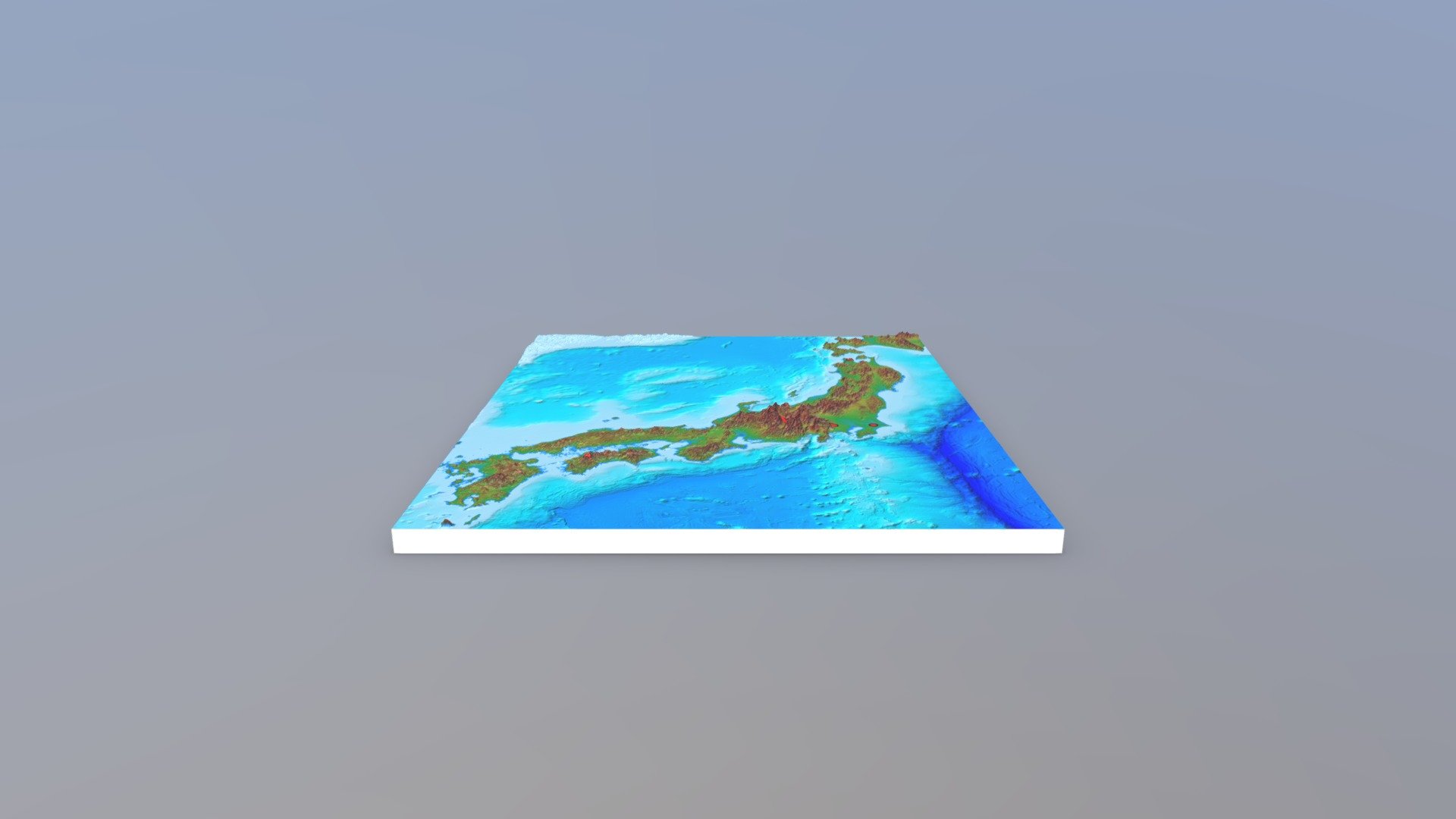
Jomon Prehistoric Site 3D Topography Model Created Annotated Blog Article Links to 3D Topography Display for Jomon Prehistoric Site Geospatial Information Authority of Japan 3D Model (Color-coded Elevation Map + Shaded Relief) Vertical Magnification: ×9.9
Download Model from sketchfab
With this file you will be able to print 地形3Dモデルを作成した縄文草創期遺跡 with your 3D printer. Click on the button and save the file on your computer to work, edit or customize your design. You can also find more 3D designs for printers on 地形3Dモデルを作成した縄文草創期遺跡.