Yosemite Valley topography
thingiverse
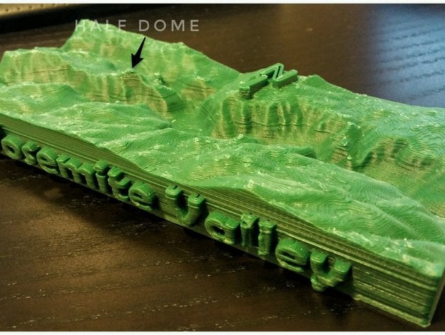
I'm getting ready for my trip to Yosemite Valley by doing some research and printing out the valley's topography. I used an incredible tool, http://jthatch.com/Terrain2STL/, which helped me create a detailed map of the area. After that, I made some adjustments to the output: I gave it a more practical shape, added a compass and some text to make it easier to read, and then enlarged it slightly in the Z direction so that the elevation changes would be more apparent.
Download Model from thingiverse
With this file you will be able to print Yosemite Valley topography with your 3D printer. Click on the button and save the file on your computer to work, edit or customize your design. You can also find more 3D designs for printers on Yosemite Valley topography.