 3docean
World Map
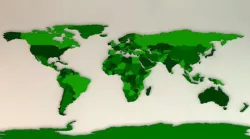
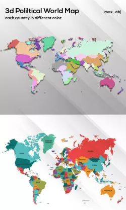
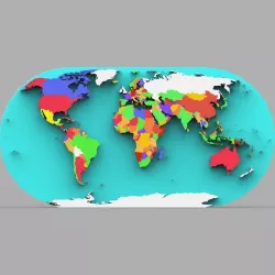
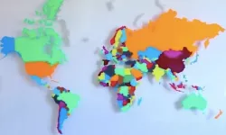
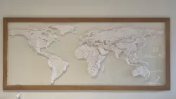
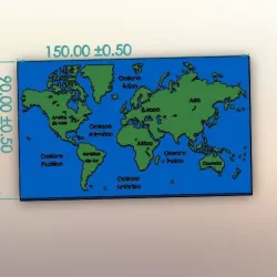
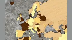
This is a 3D model of the world map. Each country is a separate part to the model so you can add different colours to each country or its own flag. Take a look at the preview images for examples. It includes all the continents; Europe, Asia, Africa, USA, Australia and Antarctica.
The map has been some what simplified so not all the tiny islands have been included. The map has been created from vectors in Illustrator so each part is created using splines. I used an extrude nurbs on all the elements to give the map depth.
What’s Included?
C4D and 3DS files
Model of World Map
All separate countries
Help File
Direct link to the original creator's page
Also Available On
More from 3docean




Similar Models
Model Specifications
Frequently Asked Questions
How do I download World Map?
Click the "View on 3docean" button above to visit the original model page on 3docean. You can download the STL file directly from the creator's page.
What 3D printer can I use for this model?
This STL file is compatible with most FDM 3D printers (Creality Ender 3, Prusa MK3S+, Bambu Lab, etc.) and resin printers (Elegoo, Anycubic). Check the original page for recommended print settings and materials.
Is this 3D model free to download?
This is a premium model priced at on 3docean. Premium models often include higher detail, multiple parts, and print-tested files.
Can I modify this STL file?
Most STL files can be modified using free software like Blender, TinkerCAD, or Meshmixer. Check the license on the original 3docean page to see if modifications are permitted by the creator.