World map (high resolution, land areas)
thingiverse
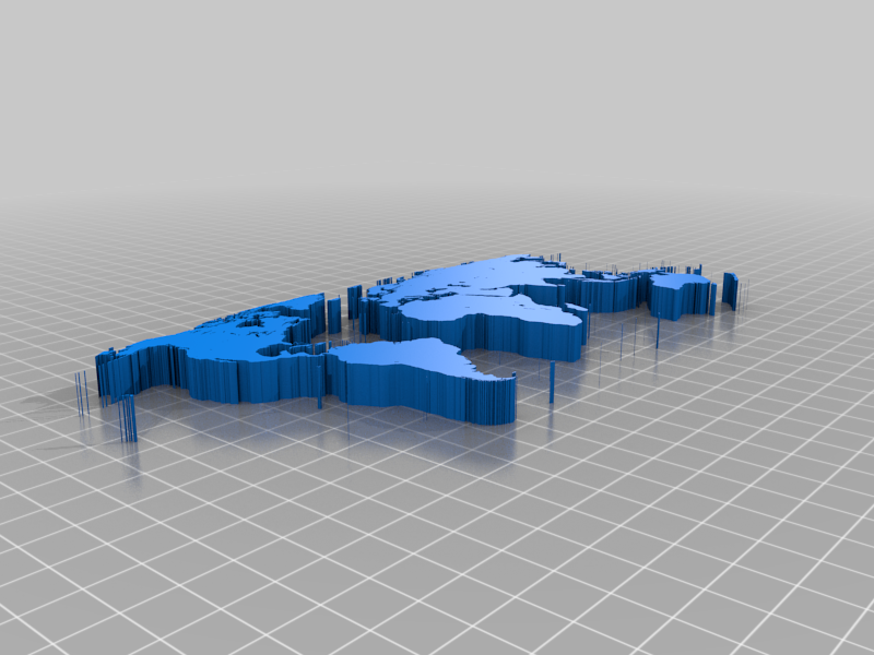
This is a high resolution world map of land areas from one of Matlab's world map examples. I extracted the lines from this image into Inkscape, then made a vector graph, then extruded it. I deleted most of the small islands and unfortunately the continent of Antarctica as the line extraction gave too many breakpoints to yield a succesful extrusion. (It should be the Robinson projection.) Here's the lazy code I wrote to extract land pieces. I = geoshow('landareas.shp'); X = []; Y = []; for k = 1 : numel(I.Children) disp(k) x = get(I.Children(k), 'XData'); y = get(I.Children(k), 'YData'); X = [X; nan; x]; Y = [Y; nan; y]; end X(1) = []; Y(1) = []; %% close all worldmap world plotm(Y, X) More about maps in Matlab: https://www.mathworks.com/help/map/create-a-world-map.html
With this file you will be able to print World map (high resolution, land areas) with your 3D printer. Click on the button and save the file on your computer to work, edit or customize your design. You can also find more 3D designs for printers on World map (high resolution, land areas).