Wilsonville, OR Roadway UAV Mapping
sketchfab
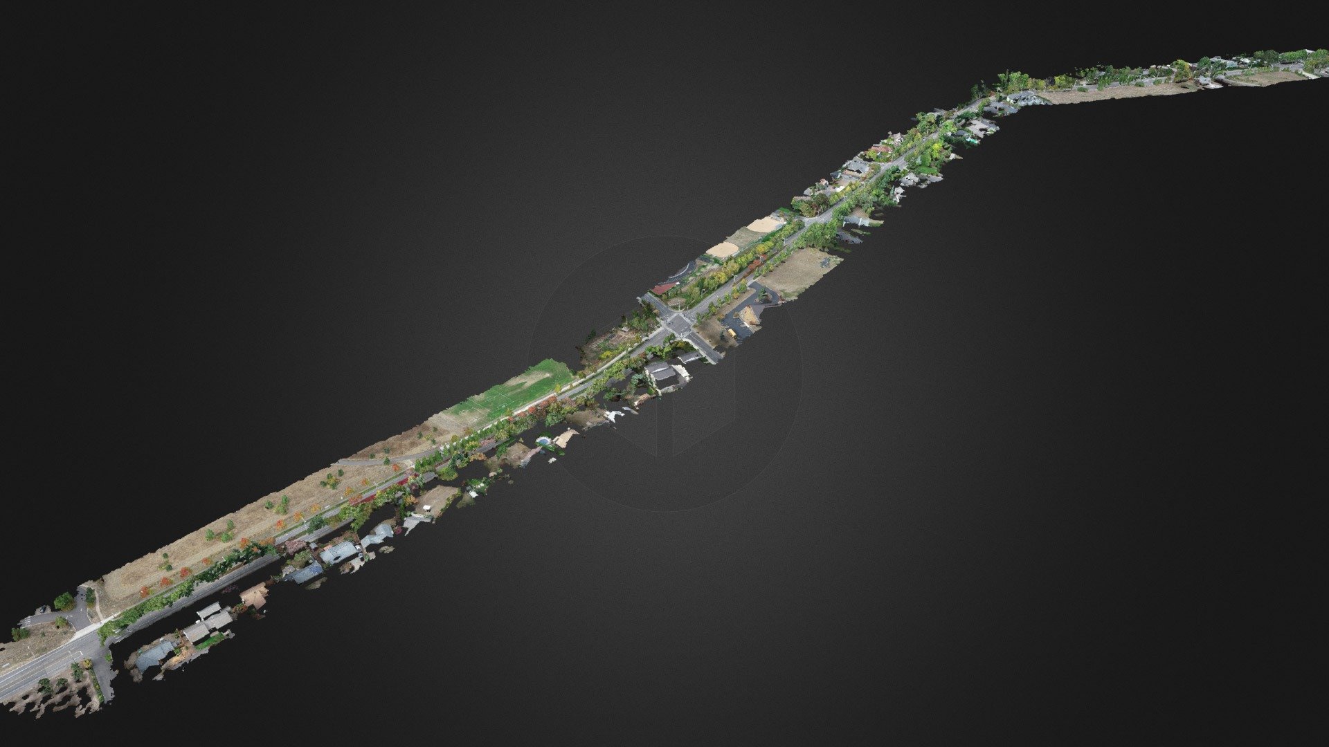
My partner's latest UAV roadway mapping project in Wilsonville, OR involved capturing a road with precision. The client initially requested a surface map derived from this dataset, so I flew approximately 2,000 frames to capture the road from every angle possible, especially under dense tree canopies. With nearly 40 aerial targets, we achieved impressive accuracy: horizontal accuracy was about half an inch and vertical accuracy was just under one inch. That's quite remarkable!
With this file you will be able to print Wilsonville, OR Roadway UAV Mapping with your 3D printer. Click on the button and save the file on your computer to work, edit or customize your design. You can also find more 3D designs for printers on Wilsonville, OR Roadway UAV Mapping.