Western Thebes, based on Survey of Egypt 1922-26
sketchfab
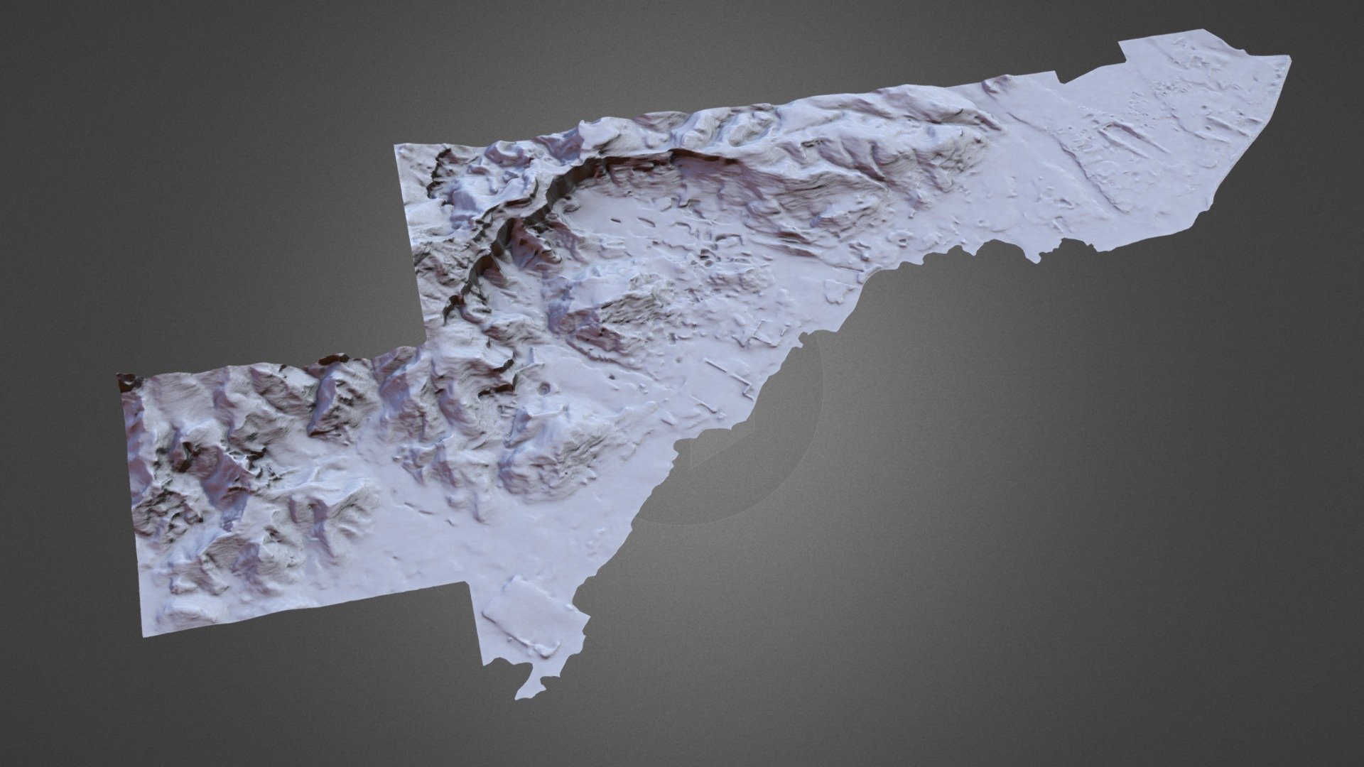
Digital Elevation Model of Western Thebes is compiled from two primary sources - the contour levels of Survey of Egypt maps dating back to the 1920s at a scale of 1:2000, as well as the more recent survey conducted in the el-Tarif area during 1976.
Download Model from sketchfab
With this file you will be able to print Western Thebes, based on Survey of Egypt 1922-26 with your 3D printer. Click on the button and save the file on your computer to work, edit or customize your design. You can also find more 3D designs for printers on Western Thebes, based on Survey of Egypt 1922-26.