Vineyards terrain model
sketchfab
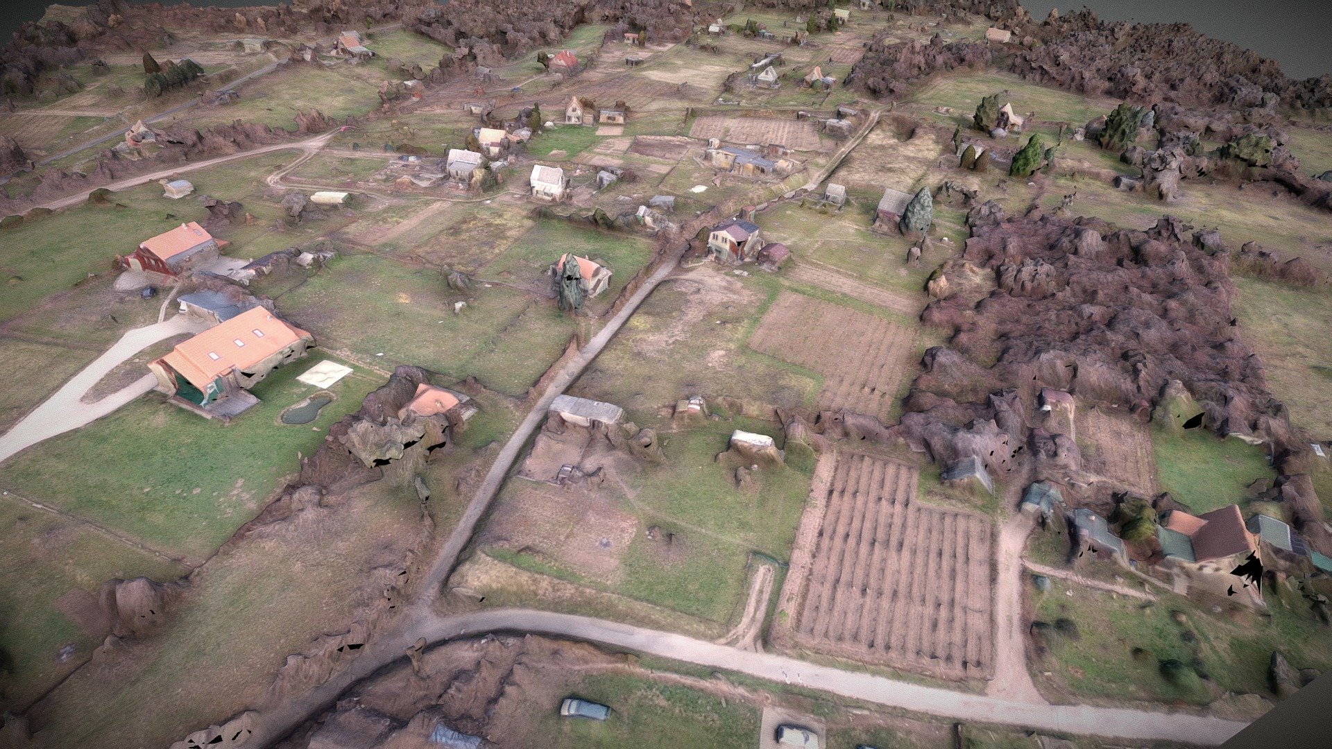
Vineyard Terrain Model Shot Taken Above Kovagoszolos, Hungary by Drone Aerial Photography Crew Captured Using DJI Phantom 3 Pro UAV with Professional Web-Based Orthomosaic Generation Software (WebODM) Flown at a Height of 100 Meters Above Ground Level Total Images Captured: 164 High-Quality Photos Ground Control Points Used: 8 Strategically Placed Reference Points for Enhanced Geometric Accuracy
Download Model from sketchfab
With this file you will be able to print Vineyards terrain model with your 3D printer. Click on the button and save the file on your computer to work, edit or customize your design. You can also find more 3D designs for printers on Vineyards terrain model.