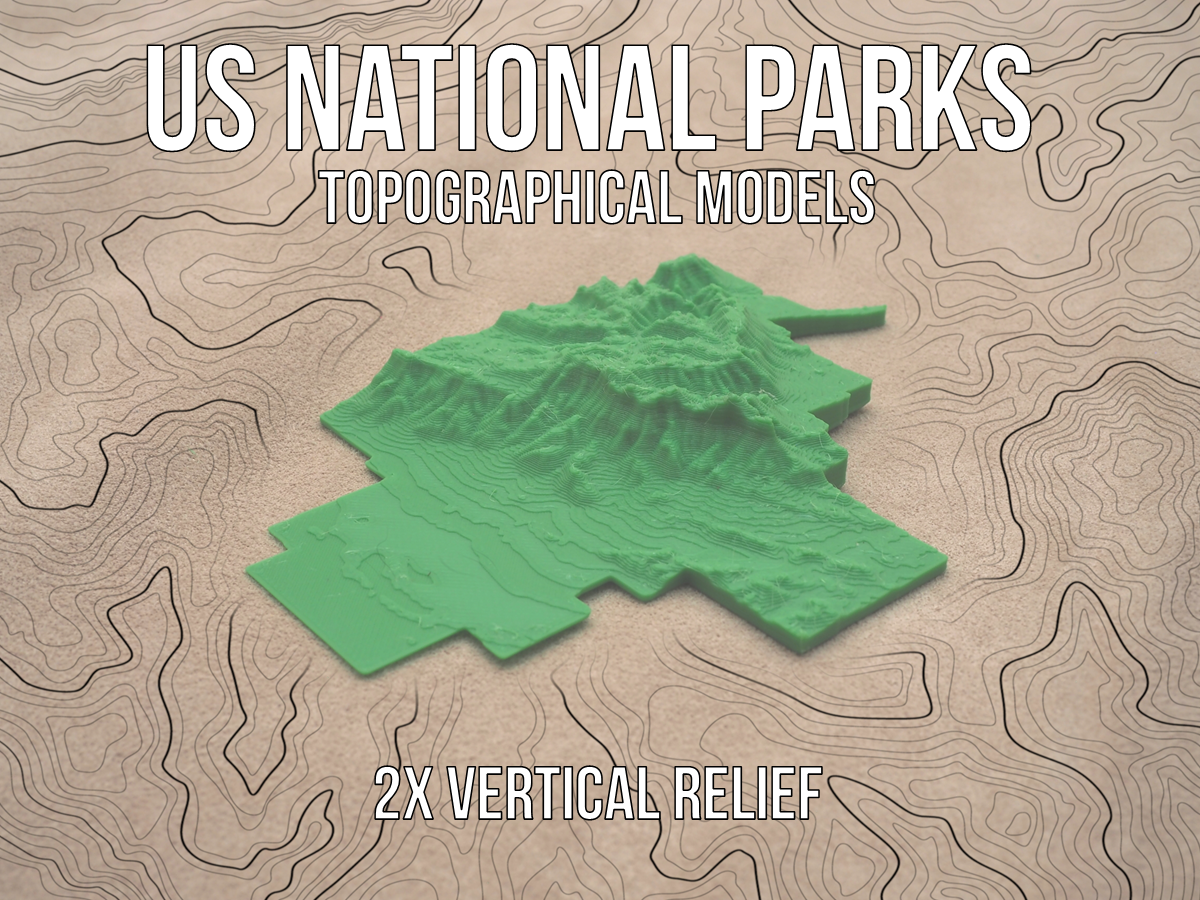
US National Parks Topographical Models - 2x Vertical Relief
prusaprinters
<p>Each of the models of the parks are scaled to the large dimension being around 200mm in order to fit on the printer bed. Due to the large size variation among the National Parks, the models are not scaled to each other. All of these models are scaled to 2x vertical relief, which slightly exaggerates the terrain. For the parks without much elevation change, this helps to amplify the features and make them more visible. </p><p>The 1x vertical relief models are available at the following link.</p><p><a href="https://www.printables.com/model/254544-us-national-parks-topographical-models-1x-vertical">https://www.printables.com/model/254544-us-national-parks-topographical-models-1x-vertical</a></p><p>Not every park is available, but check back for updates. </p><p>Update 8/28/2022 : Added Gates of the Artic, Glacier Bay, Grand Canyon, Great Smoky Mountains, Hot Springs, and Wrangell- St. Elias National Parks.</p><p>These simple topographical maps were generated using custom KML files of the approximate National Park boundaries inputted into TouchTerrain. This is an excellent tool created by Chris Harding of Iowa State University and Franek Hasiuk of Kansas Geologic Survey that digitizes USGS data into polygons and generates STL files.</p><p>Link to TouchTerrain</p><p><a href="https://touchterrain.geol.iastate.edu/">https://touchterrain.geol.iastate.edu/</a></p>
With this file you will be able to print US National Parks Topographical Models - 2x Vertical Relief with your 3D printer. Click on the button and save the file on your computer to work, edit or customize your design. You can also find more 3D designs for printers on US National Parks Topographical Models - 2x Vertical Relief.
