Unity Street | Terrestrial & UAV Photogrammetry
sketchfab
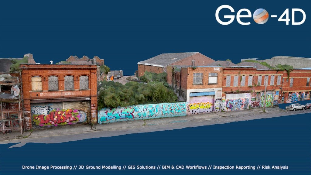
Unity Street 3D modeling project employs data collected via DJI Inspire X5 drone and Sony a6000 camera outfitted with Voigtlander SUPERWIDE 15mm lens. On-ground data is leveraged to supplement aerial imagery, considering restricted airspace around the target zone.
Download Model from sketchfab
With this file you will be able to print Unity Street | Terrestrial & UAV Photogrammetry with your 3D printer. Click on the button and save the file on your computer to work, edit or customize your design. You can also find more 3D designs for printers on Unity Street | Terrestrial & UAV Photogrammetry.