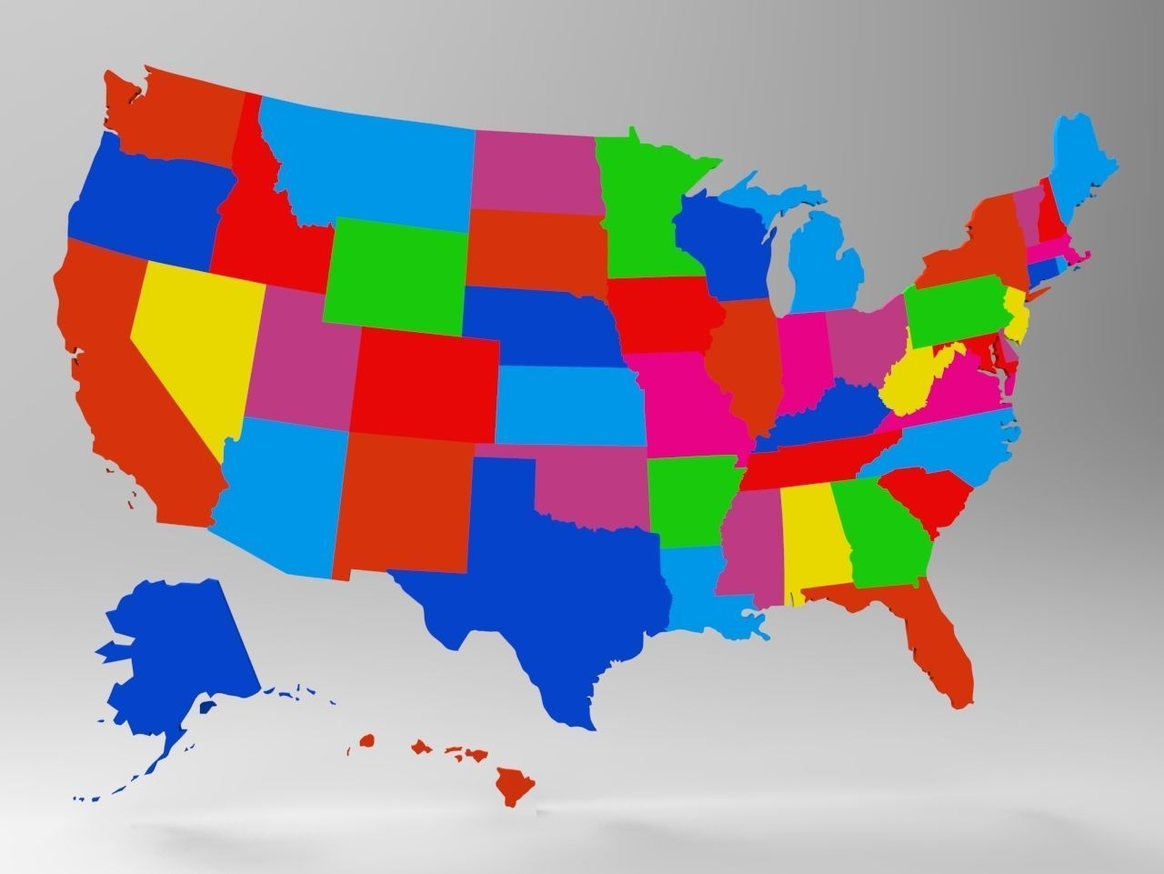
United States Map With All 50 States 3D model Low-poly 3D model
cgtrader
Human: High-Detail 3D USA Model with 50 Individual States\n\nEvery State is a Distinct Geometric Object\nBoth Alaska and Hawaii Included\n\nAmerica's 3D Country Model\n\nSupported Formats:\n OBJ and MTL files for detailed geometry and materials DWF format for web-compatible distribution FBX for high-poly rendering in software like Maya or 3ds Max DWG file format for precise CAD application use ZPR for direct export to CAD platforms like AutoCAD STL for 3D printing in any printer type available BIP file for animation purposes The United States is a massive country consisting of 50 distinct states spread out across the continent. These include Alaska on the west coast and Hawaii, a chain of islands extending America's influence into the Pacific Ocean. Notable East Coast cities are New York City, an epicenter of international finance and cultural pursuits, as well as Washington D.C., its capital city rich in historical landmarks and significance. Meanwhile, major Midwest hub Chicago boasts groundbreaking architectural feats while Los Angeles shines for being the hub of global filmmaking.
With this file you will be able to print United States Map With All 50 States 3D model Low-poly 3D model with your 3D printer. Click on the button and save the file on your computer to work, edit or customize your design. You can also find more 3D designs for printers on United States Map With All 50 States 3D model Low-poly 3D model.
