UAV Flight - Arninge Stockholm
sketchfab
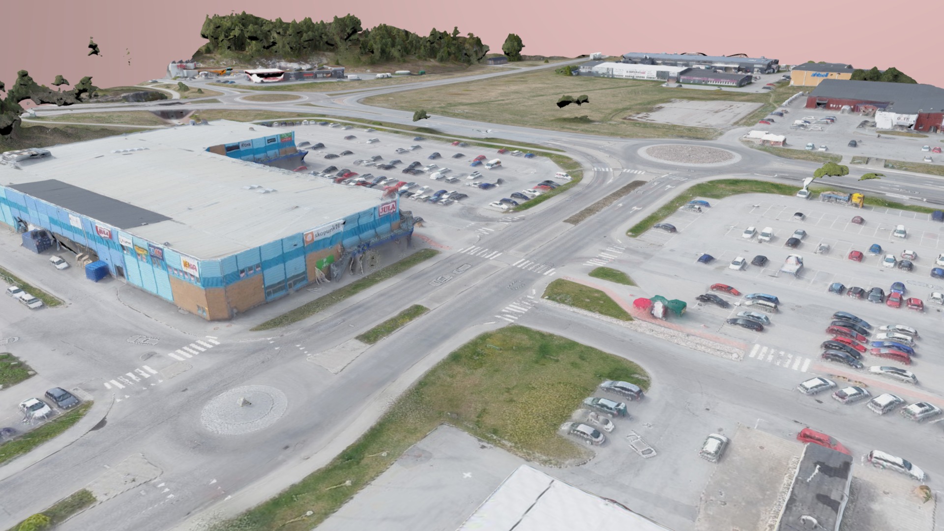
May 2017 Area: approximately 1.5 square kilometers Products: High-resolution orthophotos with a pixel resolution of 2.0 cm Point clouds classified and detailed Digital Elevation Model (DEM) LIDAR-derived digital terrain model Textured 3D models at high density down to centimeters/half inch Flight Time: approximately 5 hours
Download Model from sketchfab
With this file you will be able to print UAV Flight - Arninge Stockholm with your 3D printer. Click on the button and save the file on your computer to work, edit or customize your design. You can also find more 3D designs for printers on UAV Flight - Arninge Stockholm.