UAV Flight - Arninge Stockholm 5
sketchfab
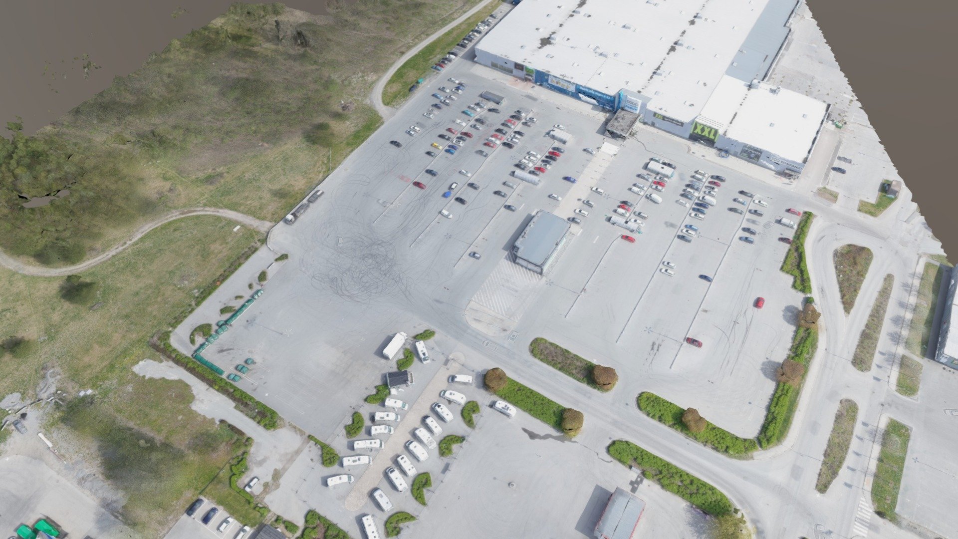
May 2017 REGION: covers approximately 1.5 square kilometers PRODUCTS: Orthophotography with a resolution of 2.0 cm per pixel Point Cloud Classified Digital Elevation Model (DEM) Terrain Model Textured 3D Model FLIGHT TIME: approximately 5 hours NOTE: All models, images, and orthophotos have relatively low resolutions for demonstration purposes on Sketchfab only. The actual post-production output features high-density models with resolutions down to centimeters or half an inch.
With this file you will be able to print UAV Flight - Arninge Stockholm 5 with your 3D printer. Click on the button and save the file on your computer to work, edit or customize your design. You can also find more 3D designs for printers on UAV Flight - Arninge Stockholm 5.