Tour De France 2017 Stages Elevation Profile and Map
thingiverse
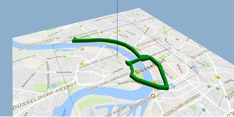
The 2017 Tour de France elevation profiles were carefully crafted to showcase the grueling terrain that riders faced during the prestigious event. To better visualize these challenging routes, I recommend printing out a detailed .pdf map and overlaying it with a stunning 3D print model. This unique combination will provide an immersive experience for cycling enthusiasts and offer a fascinating glimpse into the world of professional road racing.
With this file you will be able to print Tour De France 2017 Stages Elevation Profile and Map with your 3D printer. Click on the button and save the file on your computer to work, edit or customize your design. You can also find more 3D designs for printers on Tour De France 2017 Stages Elevation Profile and Map.