Topography DEM at 2500m altitude from FAE Drone
sketchfab
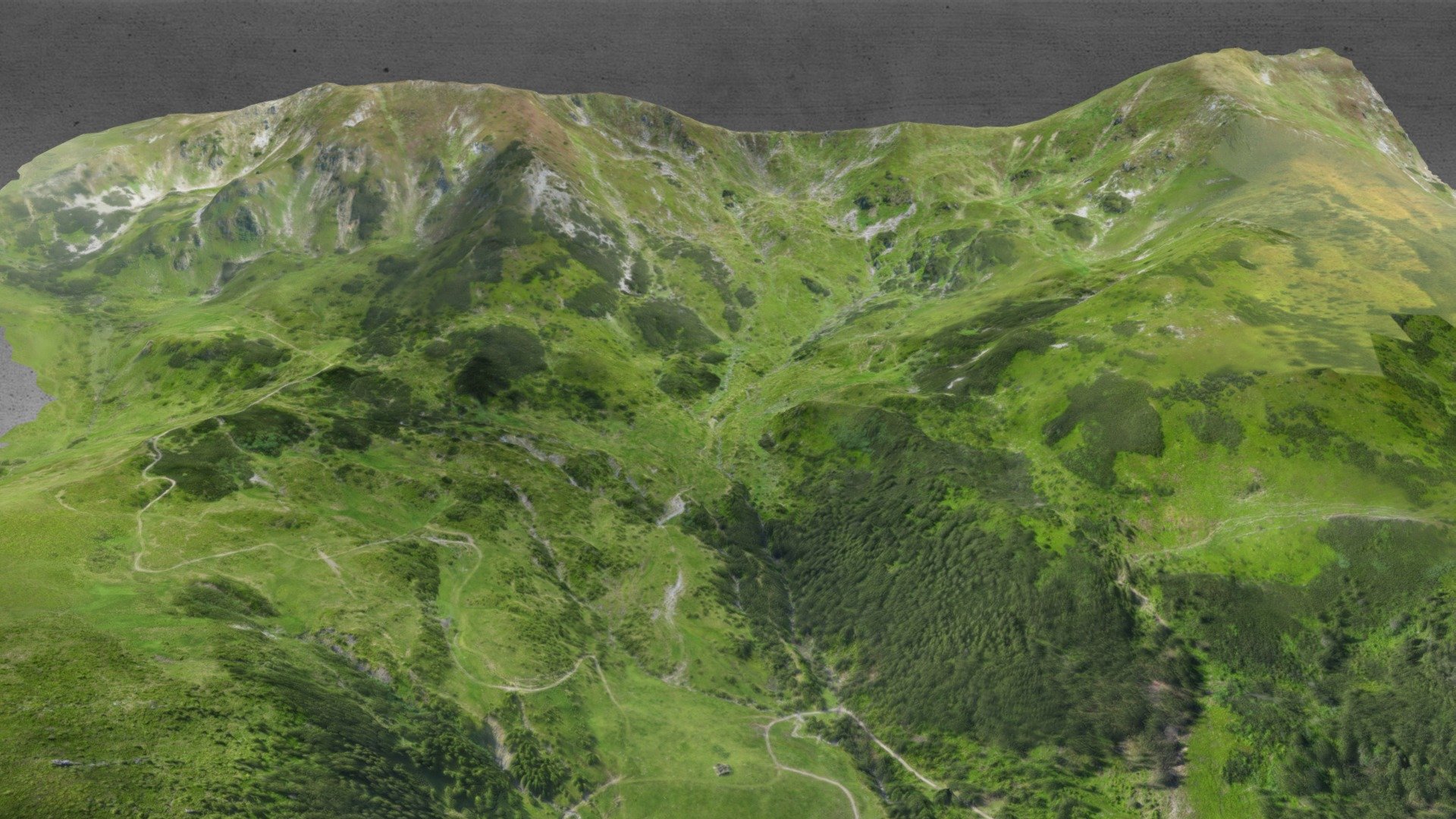
This model is exclusively designed for marketing use. It showcases the majestic Rodnei Mountains in Romania's Maramures region, captured by FAE1115Octa drone. To optimize compatibility with Sketchfab's size limitations, the original data was condensed to 10% of its original scale. For precise topographic and land survey services, please visit www.FotografieAeriana.Eu.
Download Model from sketchfab
With this file you will be able to print Topography DEM at 2500m altitude from FAE Drone with your 3D printer. Click on the button and save the file on your computer to work, edit or customize your design. You can also find more 3D designs for printers on Topography DEM at 2500m altitude from FAE Drone.