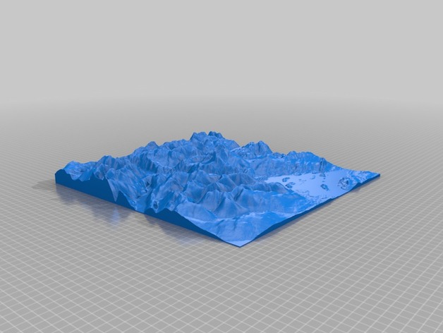
Topographical model of Loch Lomond, Scotland
thingiverse
3D terrain models surround Loch Lonnd, a majestic Scottish expanse. Loch Lonnd extends diagonally from top-left to bottom-right, as Balloch appears at the center bottom of the 3D landscape, close by Inchmurrin, its lowest point an island rising from the depths. To the right, towering Ben Lomond pierces the sky, the highest peak of all that looms near this stunning body of water. This detailed model came into existence thanks to Terrain2STL's conversion prowess; a web-based service capable of converting public domain HGT files into highly detailed and practical STL files suitable for 3D modeling endeavors
With this file you will be able to print Topographical model of Loch Lomond, Scotland with your 3D printer. Click on the button and save the file on your computer to work, edit or customize your design. You can also find more 3D designs for printers on Topographical model of Loch Lomond, Scotland.
