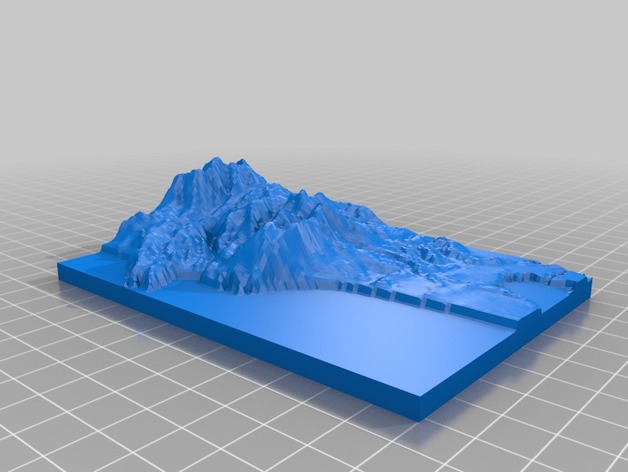
Topographical Map of Nahalem Bay
thingiverse
I experimented with three distinct programs before stumbling upon a platform that simplifies the creation of landmarks. A website I discovered allowed me to generate a fully printable .stl file in under 5 minutes, complete with intricate details for Nehalem Bay. The website is located at http://jthatch.com/Terrain2STL/.
Download Model from thingiverse
With this file you will be able to print Topographical Map of Nahalem Bay with your 3D printer. Click on the button and save the file on your computer to work, edit or customize your design. You can also find more 3D designs for printers on Topographical Map of Nahalem Bay.
