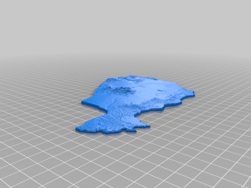
Topographic Niger
thingiverse
Topographical Map of Niger Unveiled. Each and every topographical map I have created shares a common scale, ensuring that they can seamlessly merge into one massive map. Although some minor adjustments might be needed due to the production method employed, these maps are designed to work together in perfect harmony.
Download Model from thingiverse
With this file you will be able to print Topographic Niger with your 3D printer. Click on the button and save the file on your computer to work, edit or customize your design. You can also find more 3D designs for printers on Topographic Niger.
