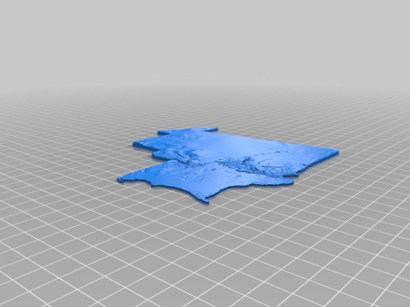
Topographic Mauritania
thingiverse
Topographic Map of Mauritania Unfolds in Detail. Each and every one of my meticulously crafted topographic maps shares a consistent scale, allowing multiple maps to seamlessly merge into a comprehensive, expansive view. While some minor trimming might be necessary due to the intricacies of their creation process, these maps are designed to fit together perfectly like interlocking pieces of a grand puzzle.
Download Model from thingiverse
With this file you will be able to print Topographic Mauritania with your 3D printer. Click on the button and save the file on your computer to work, edit or customize your design. You can also find more 3D designs for printers on Topographic Mauritania.
