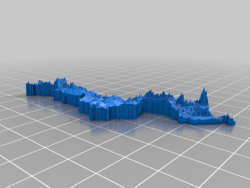
Topographic Malawi
thingiverse
Topographical Map of Malawi Unveiled A comprehensive topographical map of Malawi is now available, showcasing the country's intricate landscape in vivid detail. Each map has been carefully scaled to match the others, allowing users to seamlessly nest them together and form a single, cohesive large-scale map. Some minor trimming may be necessary due to the unique process used to create these maps, but overall they are designed to provide an accurate and immersive representation of Malawi's geography.
With this file you will be able to print Topographic Malawi with your 3D printer. Click on the button and save the file on your computer to work, edit or customize your design. You can also find more 3D designs for printers on Topographic Malawi.
