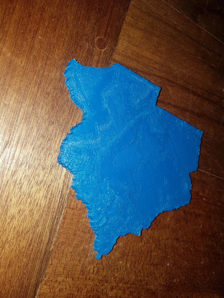
Topographic Botswana
thingiverse
A topographical map of Botswana reveals its diverse landscape, showcasing the country's unique geography through a series of lines and symbols that highlight various features such as elevation, vegetation, and water bodies. By interpreting these markings, one can gain a deeper understanding of Botswana's physical characteristics and how they have been shaped by millions of years of geological activity.
Download Model from thingiverse
With this file you will be able to print Topographic Botswana with your 3D printer. Click on the button and save the file on your computer to work, edit or customize your design. You can also find more 3D designs for printers on Topographic Botswana.
