The Rigg 11 (May 2007)
sketchfab
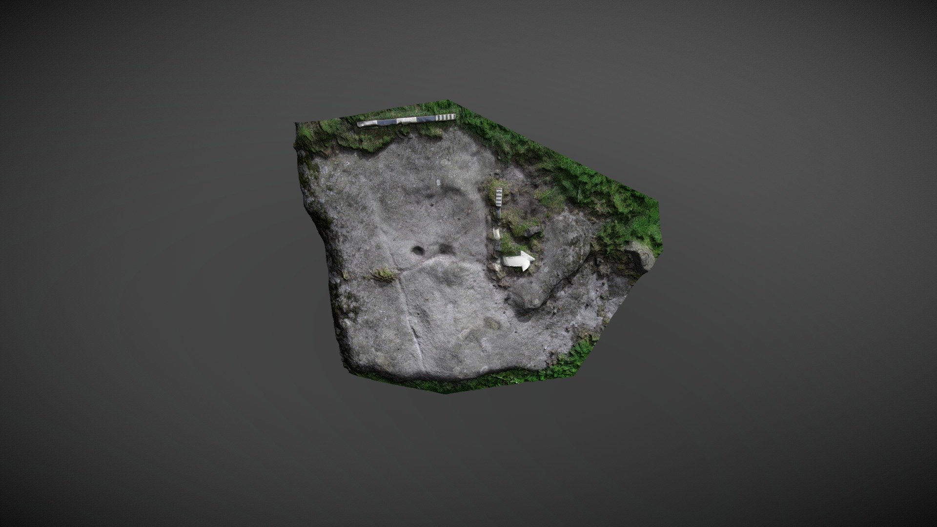
Area located S of The Rigg, SW of Lartington, County Durham, exposes carved outcrop to westward. This is westerly exposure of carved outcrop south of The Rigg. Beckensall & Laurie mention it in 1998 publication 'Prehistoric Rock Art of County Durham, Swaledale and Wensleydale', NADRAP names it 'Lartington, The Rigg 11' and adds record to ERA in 2008. They describe motifs as a single cup and a cup with short linear groove positioned on fissure. There may also be very eroded ring without cup just to north-west. No ring appears on model. Brown & Brown suggest marking could be connected to later quarrying in 'Prehistoric Rock Art of Northern Dales'. ERA record: https://archaeologydataservice.ac.uk/era/section/panel/overview.jsf?eraId=940 Historic England listing: https://historicengland.org.uk/listing/the-list/list-entry/1018251 Model created from 4 stereo pairs captured by NADRAP Team 5 in May 2007. Imagery forms part of full NADRAP archive.
With this file you will be able to print The Rigg 11 (May 2007) with your 3D printer. Click on the button and save the file on your computer to work, edit or customize your design. You can also find more 3D designs for printers on The Rigg 11 (May 2007).