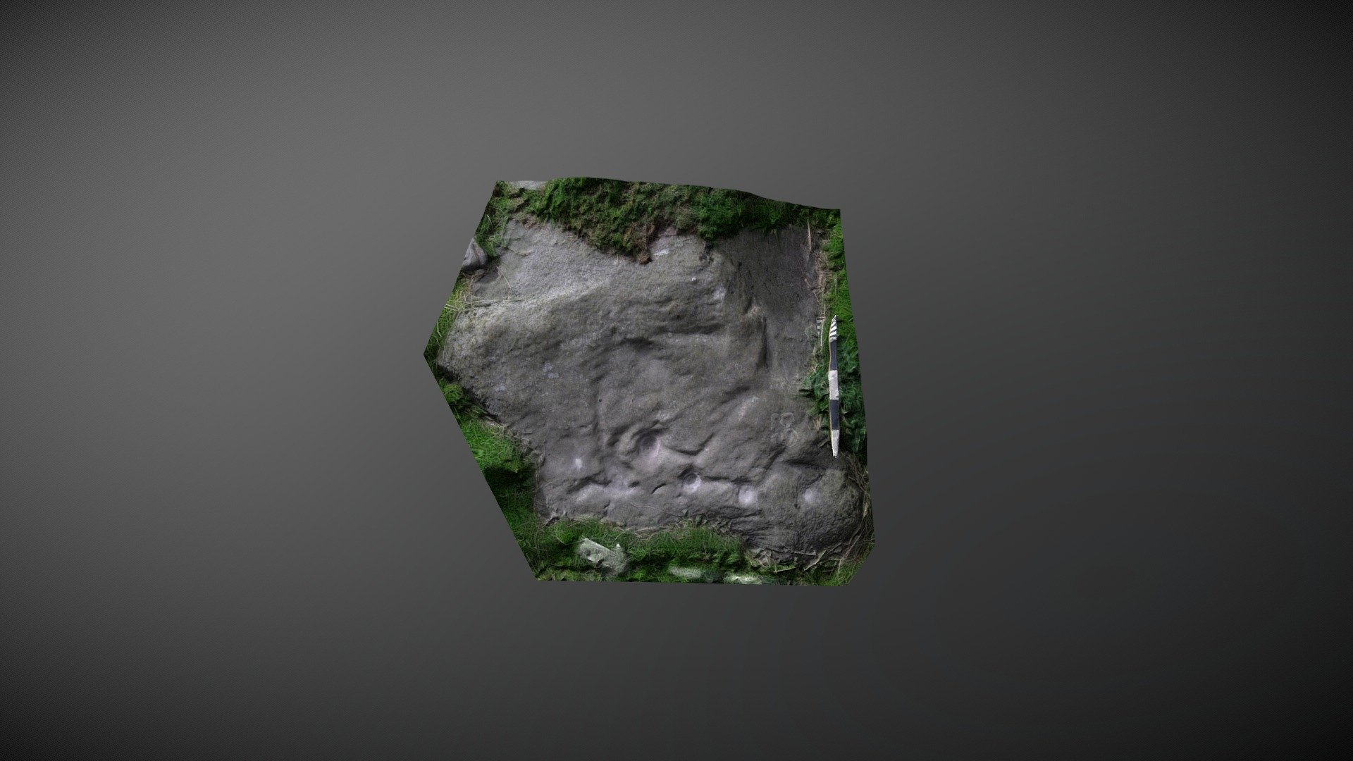
The Rigg 10 (May 2007)
sketchfab
Area of outcrop located south of The Rigg, southwest of Lartington, County Durham. This particular section is one of many areas featuring the same exposure of outcrop adorned with carvings, often separated by either fissures or turf coverage. During initial NADRAP surveys in 2006, this area was believed to be a new discovery and was referenced as 'Lartington, The Rigg 10' on ERA in 2008. However, it had previously been discovered in 1999 by Paul Brown and was referenced as 'RIG7a' in his and Barbara Brown's 2008 publication 'Prehistoric Rock Art in the Northern Dales.' They describe: Four linked cups appear on the west side of the slab, along with an eroded depression linked by a groove, a deep drill hole, and a single cup mark. ERA record: https://archaeologydataservice.ac.uk/era/section/panel/overview.jsf?eraId=939 A model was created from six images captured by NADRAP Team 5 in May 2007. The imagery forms part of the full NADRAP archive deposited with Historic England.
With this file you will be able to print The Rigg 10 (May 2007) with your 3D printer. Click on the button and save the file on your computer to work, edit or customize your design. You can also find more 3D designs for printers on The Rigg 10 (May 2007).
