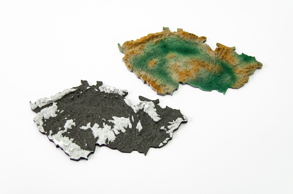
The Czech Republic 3D terrain model
thingiverse
Here is a step-by-step guide on how to create a topographical 3D model of the Czech Republic and print it on your 3D printer. First, obtain a digital elevation model (DEM) of the Czech Republic in a suitable format such as GeoTIFF or ASCII. You can download one from the USGS EarthExplorer website or other online sources. Next, import the DEM into a 3D modeling software like Blender or MeshLab and convert it to a 3D mesh. This will give you a detailed topographical representation of the Czech Republic's terrain. To prepare the model for printing, use a slicing software like Cura or Slic3r to generate G-code files specifically designed for your 3D printer model, such as the Prusa i3 MK3. The provided Gcodes for the MK3 will ensure optimal print quality and speed. Finally, load the sliced model into your 3D printer's control software and start printing. Be sure to monitor the print job closely to avoid any issues during the printing process.
With this file you will be able to print The Czech Republic 3D terrain model with your 3D printer. Click on the button and save the file on your computer to work, edit or customize your design. You can also find more 3D designs for printers on The Czech Republic 3D terrain model.
