Test3d Simplified
sketchfab
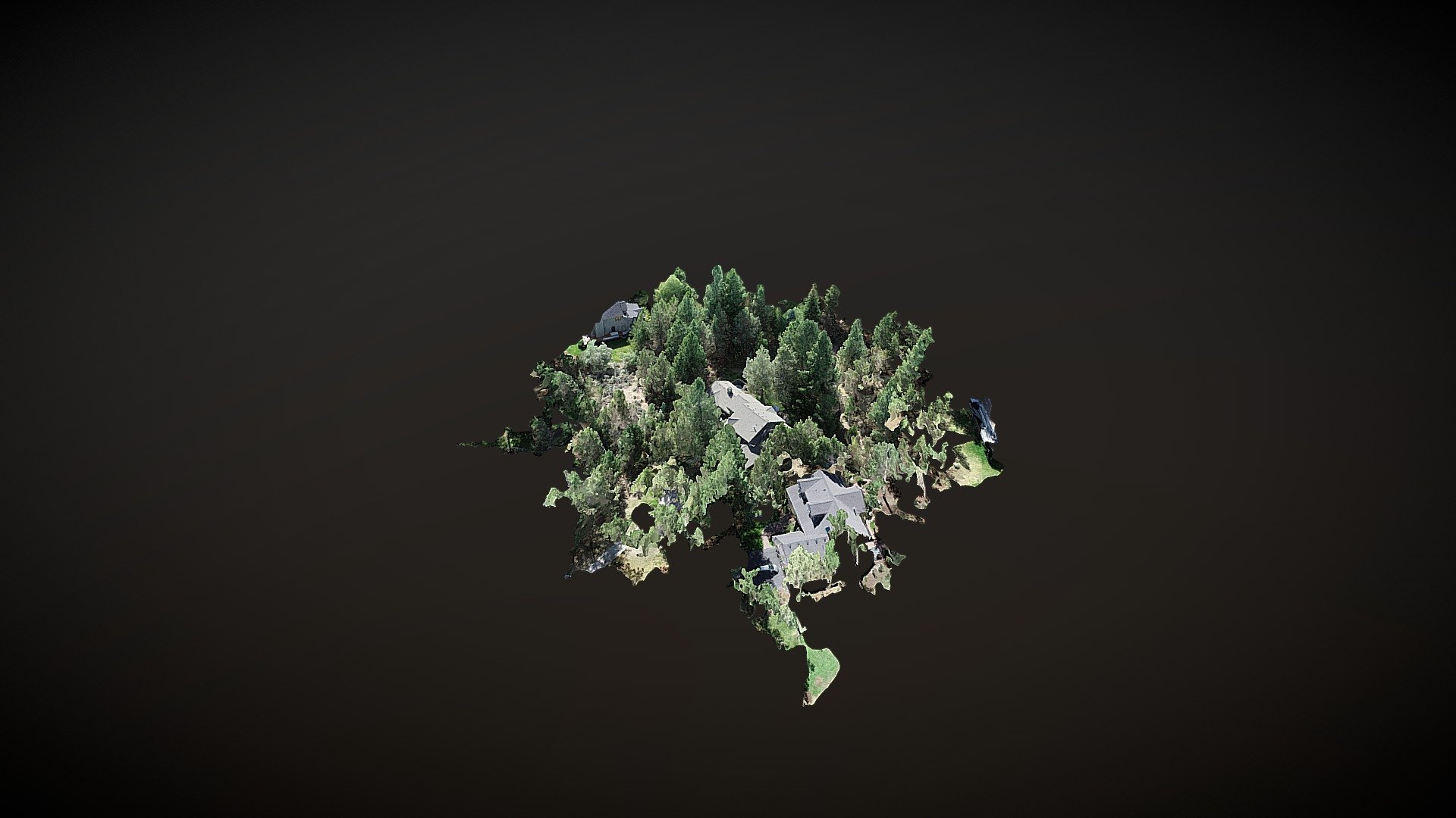
Initial Test Results for Pix4D System: The purpose of this initial test is to determine if the Pix4D system meets the required standards for aerial data processing and mapping. Test Setup: We utilized a DJI Phantom 4 Pro drone equipped with a high-resolution camera. The aircraft flew over an open field at an altitude of approximately 100 feet, capturing a series of overlapping photos. Pix4D Processing: We uploaded the captured images to the Pix4D system and initiated the automatic processing workflow. The software analyzed the images, aligned them, and created a dense point cloud model. Results Analysis: The resulting orthomosaic image shows excellent detail and resolution. The 3D model generated from the point cloud data accurately represents the terrain and features of the test area. Conclusion: Based on these initial test results, Pix4D appears to be a reliable system for processing aerial data and creating accurate maps. However, further testing is required to fully evaluate its capabilities and limitations.
With this file you will be able to print Test3d Simplified with your 3D printer. Click on the button and save the file on your computer to work, edit or customize your design. You can also find more 3D designs for printers on Test3d Simplified.