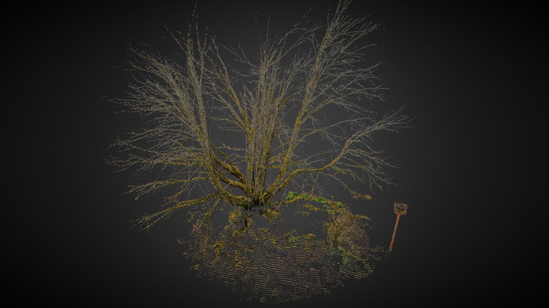
Terrestrial Photogrammetry of Vegetation
sketchfab
Capturing complex structures such as utility lines or tree branches is the ultimate challenge of modern photogrammetry, typically reserved for high-end terrestrial scanners and aerial lidar systems due to their hefty price tags. However, under favorable weather conditions, leveraging the right equipment and processing skills can yield LiDAR-quality results from photographs alone. This precise model was captured using a Nikon D850 46 megapixel full frame DSLR camera paired with a RedCatch Mono GNSS/IMU sensor mounted on its hot shoe. The data was carefully acquired and processed from approximately 200 frames taken by circling the tree at ground level, about 30 feet away from the base, to achieve this impressive outcome.
With this file you will be able to print Terrestrial Photogrammetry of Vegetation with your 3D printer. Click on the button and save the file on your computer to work, edit or customize your design. You can also find more 3D designs for printers on Terrestrial Photogrammetry of Vegetation.
