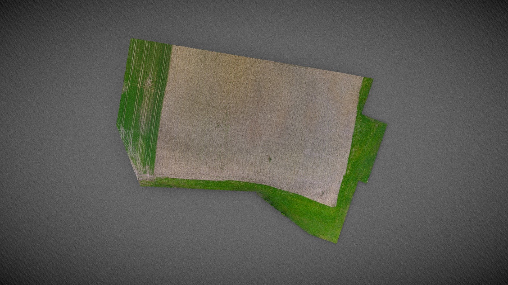
Survey Oberaustall | Northern Section
sketchfab
Roman Rural Landscapes at the Department of Classical Archaeology, University of Vienna Oberaustall is a key site for the project Modeling Roman Rural Landscapes, which aims to create detailed datasets on the material culture of northwest Roman Noricum's periphery in present-day Upper Austria. In 2016, systematic intensive raster surveys were conducted at Oberaustall, supplemented by geophysical surveys using magnetics and ground-penetrating radar in 2017 and 2018. The model was developed by Dominik Hagmann, in collaboration with Archaeo Perspectives, using footage captured by a GoPro Hero 4 Black camera mounted on an unmanned aerial vehicle (UAV), specifically the DJI F550 Flamewheel. The ground control points (GCPs) were precisely measured using differential GPS technology.
With this file you will be able to print Survey Oberaustall | Northern Section with your 3D printer. Click on the button and save the file on your computer to work, edit or customize your design. You can also find more 3D designs for printers on Survey Oberaustall | Northern Section.
