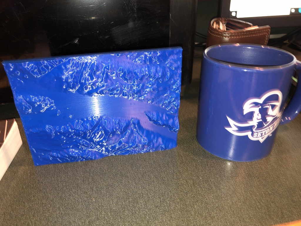
South Lake George Relief Map
thingiverse
This took a while to create. I read numerous articles and experimented with several methods before settling on more than four different programs to download USGS topo maps, convert them into elevation maps, and then generate a solid base beneath the elevation as a block. The model was too large for Tinkercad. The software proved challenging due to my unfamiliarity with Blender, but I managed to complete it. Overall, it was an enjoyable experience. I acquired valuable knowledge in the process. A few tips if you plan to print this: ensure that you print it on its side; otherwise, the resolution will be poor. I deliberately set up my printer (Lulzbot mini) so that the table would move along the long axis. I was confident it wouldn't topple over but made sure to secure it twice. By the way, I'm not a Seton Hall graduate. My daughter is scheduled to attend in the fall.
With this file you will be able to print South Lake George Relief Map with your 3D printer. Click on the button and save the file on your computer to work, edit or customize your design. You can also find more 3D designs for printers on South Lake George Relief Map.
