Snowbird-Alta
sketchfab
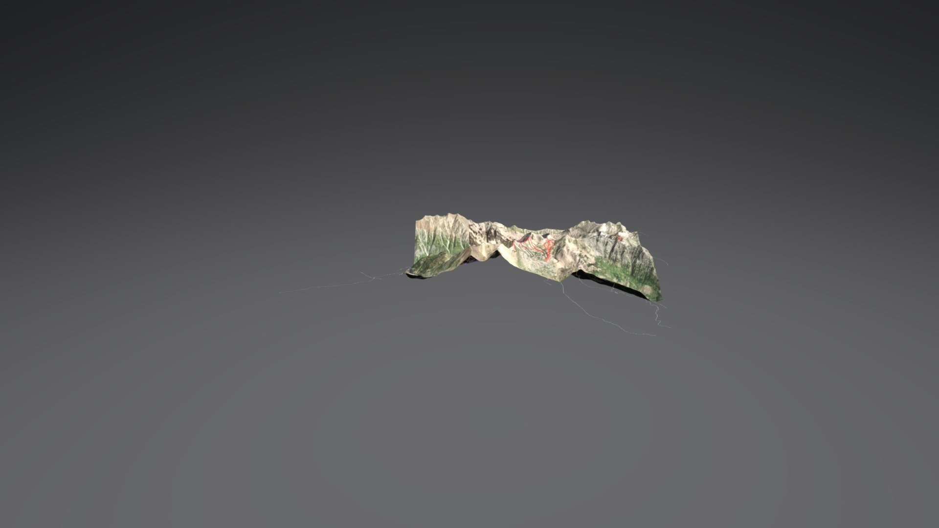
DEM Net Elevation API powers digital terrain visualizations, utilizing the AW3D30 OpenTopography Digital Elevation Model. High-resolution imagery is sourced from Esri World Imagery, while data is provided through OpenStreetMap.
Download Model from sketchfab
With this file you will be able to print Snowbird-Alta with your 3D printer. Click on the button and save the file on your computer to work, edit or customize your design. You can also find more 3D designs for printers on Snowbird-Alta.