Shane's Private Track
sketchfab
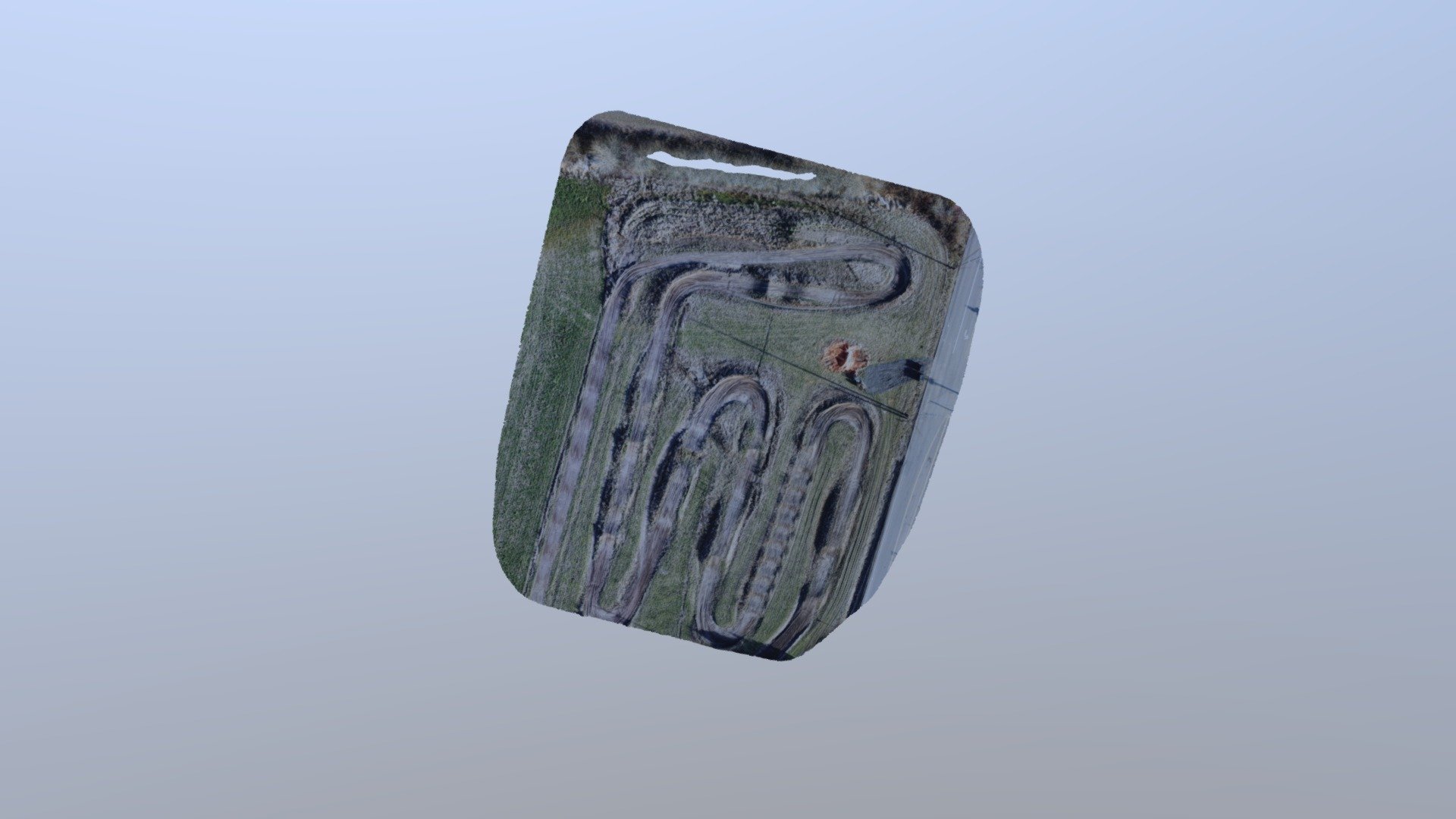
Shane's Exclusive LITPro HD-Track Map, Captured with Precision. A customer employed a high-end DJI Mavic 2 Pro drone to capture images while traveling at a steady 50 meters height, all under the expert control of the Map Pilot App on March 15, 2019. This detailed map was seamlessly uploaded directly from Maps Made Easy through the power of the Sketchfab API.
Download Model from sketchfab
With this file you will be able to print Shane's Private Track with your 3D printer. Click on the button and save the file on your computer to work, edit or customize your design. You can also find more 3D designs for printers on Shane's Private Track.