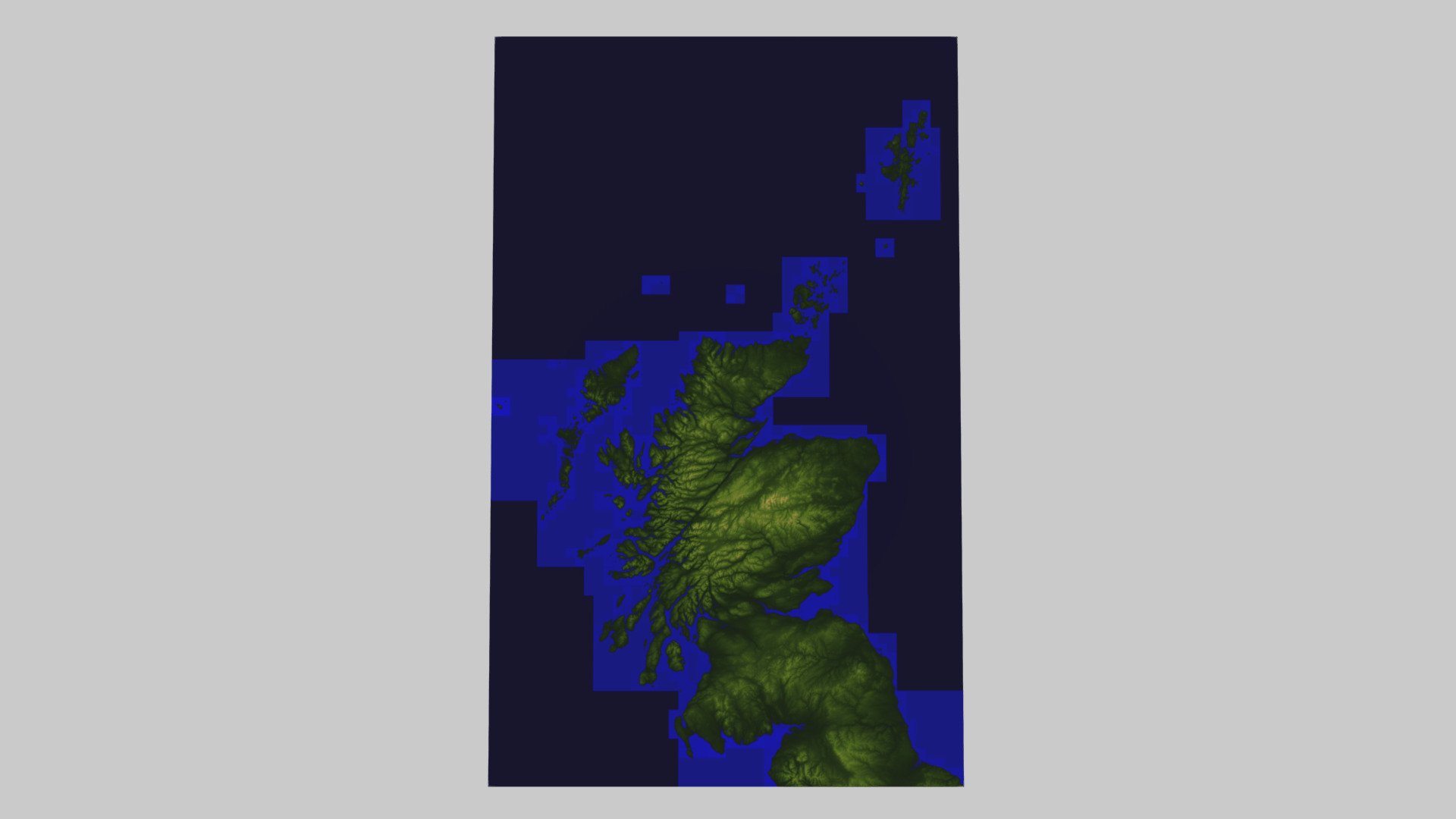
Scotland terrain
sketchfab
Scotland's low-resolution terrain model originates from the Ordnance Survey OpenData set, specifically 'OS Terrain 50'. This digital representation spans 500km by 800km, beginning at the Ordnance Survey National Grid 100km2 tile HP in the north east corner and extending through NZ in the south east.
Download Model from sketchfab
With this file you will be able to print Scotland terrain with your 3D printer. Click on the button and save the file on your computer to work, edit or customize your design. You can also find more 3D designs for printers on Scotland terrain.
