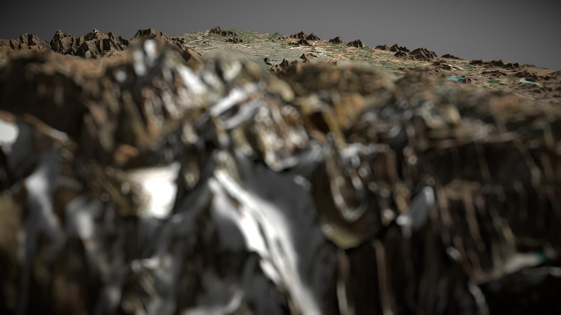
Santiago de Chile (TIN)
sketchfab
The elevation data was generated using the DEM Net Elevation API from elevationapi.com, specifically the OpenTopography NASA SRTM GL3 model. The imagery used to visualize this terrain is courtesy of MapBox Satellite.
Download Model from sketchfab
With this file you will be able to print Santiago de Chile (TIN) with your 3D printer. Click on the button and save the file on your computer to work, edit or customize your design. You can also find more 3D designs for printers on Santiago de Chile (TIN).