Santa Barbara County Topographic Print
thingiverse
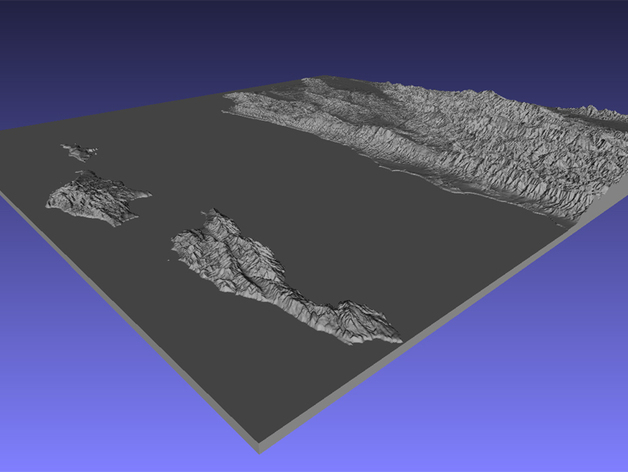
A print of Santa Barbara County, sourced directly from a website (http://jthatch.com/Terrain2STL/) that converts Google Earth data into 3D models. I modified the vertical scale in Meshlab to enhance topography visibility when printing large areas at small scales. The original file is massive, weighing in at 187MB; I scaled it down to 50% for a successful print on my i3 printer, which took approximately 5-6 hours. I'm posting the full-scale version here for those with larger printers, as it would truly come alive when printed at its intended size. A white filament finish looks stunning without additional paint.
With this file you will be able to print Santa Barbara County Topographic Print with your 3D printer. Click on the button and save the file on your computer to work, edit or customize your design. You can also find more 3D designs for printers on Santa Barbara County Topographic Print.