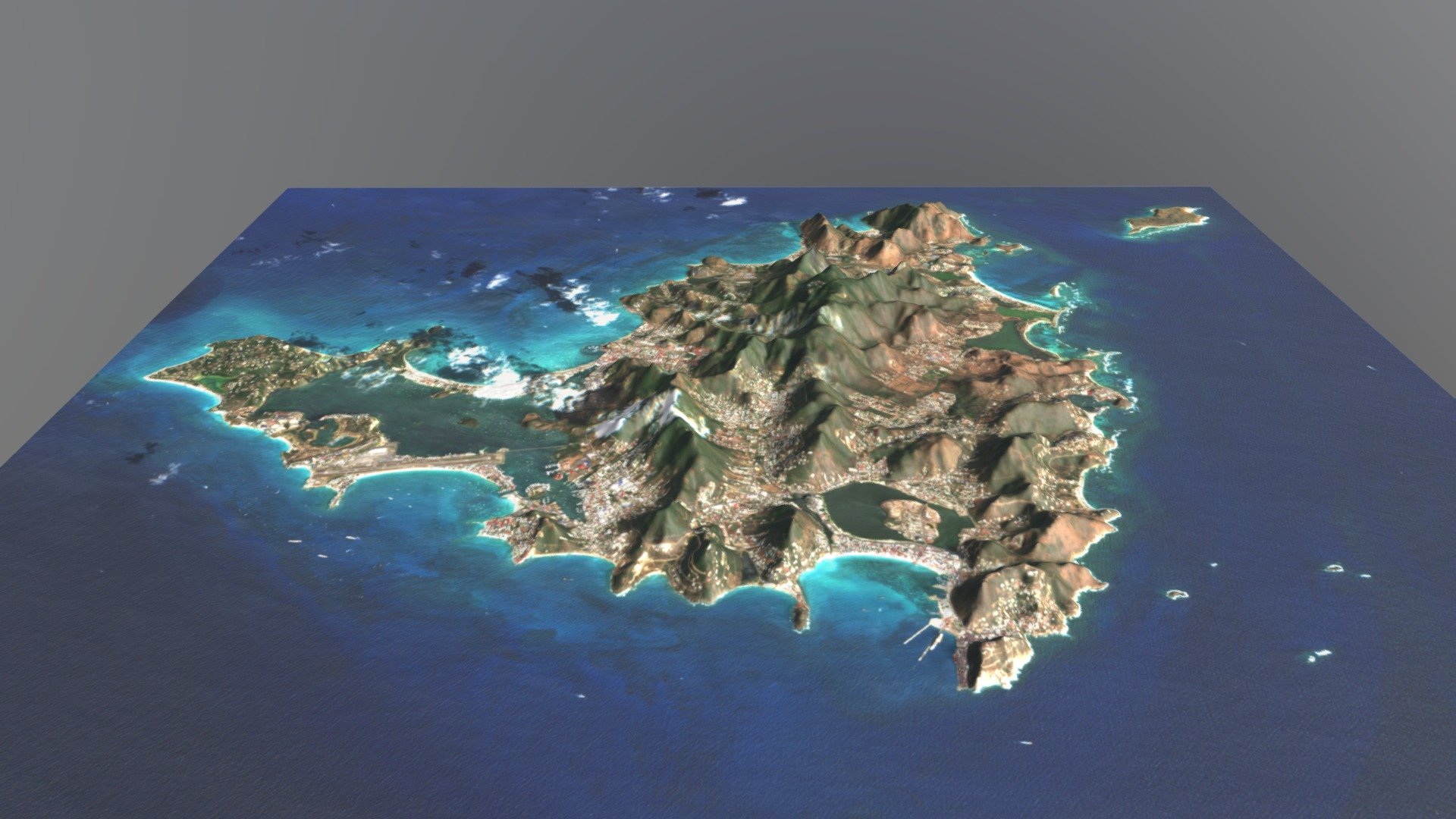
Saint Martin / Sint Maarten Terrain Map
sketchfab
Order a Full Color 3D Printed Model Saint Martin, an island in the northeastern Caribbean Sea, lies approximately 300 km east of Puerto Rico. Measuring 87 square kilometers in size, this island is divided roughly into two parts, with France holding 53 square kilometers and the Kingdom of the Netherlands claiming 34 square kilometers. However, both sections have a nearly equal population due to their division dating back to 1648. The southern part of the Dutch territory makes up Sint Maarten and is one of four countries in the Kingdom of the Netherlands. On the other hand, the northern French section forms the Collectivity of Saint Martin, an overseas collectivity of France, with only this portion being part of the European Union.
With this file you will be able to print Saint Martin / Sint Maarten Terrain Map with your 3D printer. Click on the button and save the file on your computer to work, edit or customize your design. You can also find more 3D designs for printers on Saint Martin / Sint Maarten Terrain Map.
