Ruahine Range, New Zealand (1:100,000 Scale)
sketchfab
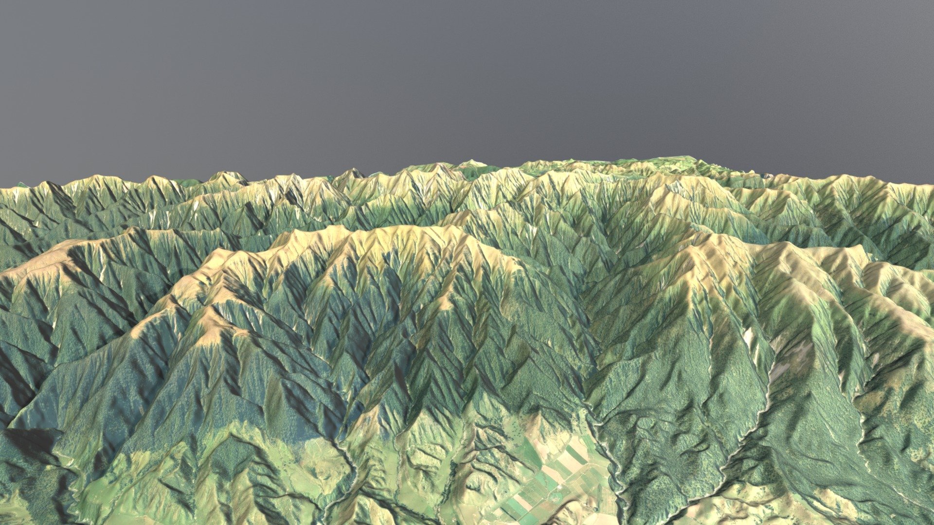
Order a 11x8.5" 3D Print\nThe Ruahine Range stands as the largest of numerous mountain ranges in the North Island of New Zealand, forming a ridge that runs parallel to the east coast of the island between East Cape and Wellington. The ridge reaches its most defined point from the central North Island down to Wellington, where it comprises the Ruahine, Tararua and Rimutaka Ranges.\nThe Ruahines stretch northeast-southwest for 110 kilometres from inland Hawke’s Bay to near Woodville. It is separated in the south from the northern end of the Tararua Range by the Manawatu Gorge.\nThe highest point in the Ruahines is Mangaweka, situated along the Hikurangi Range, which at 1733 metres (5686 feet) is the second-highest non-volcanic mountainous peak in the North Island after Mt Hikurangi (1754 meters/5755 feet) in the Raukumara Range.\nSource: Wikipedia\nData Sources: Land Information New Zealand (LINZ)
With this file you will be able to print Ruahine Range, New Zealand (1:100,000 Scale) with your 3D printer. Click on the button and save the file on your computer to work, edit or customize your design. You can also find more 3D designs for printers on Ruahine Range, New Zealand (1:100,000 Scale).