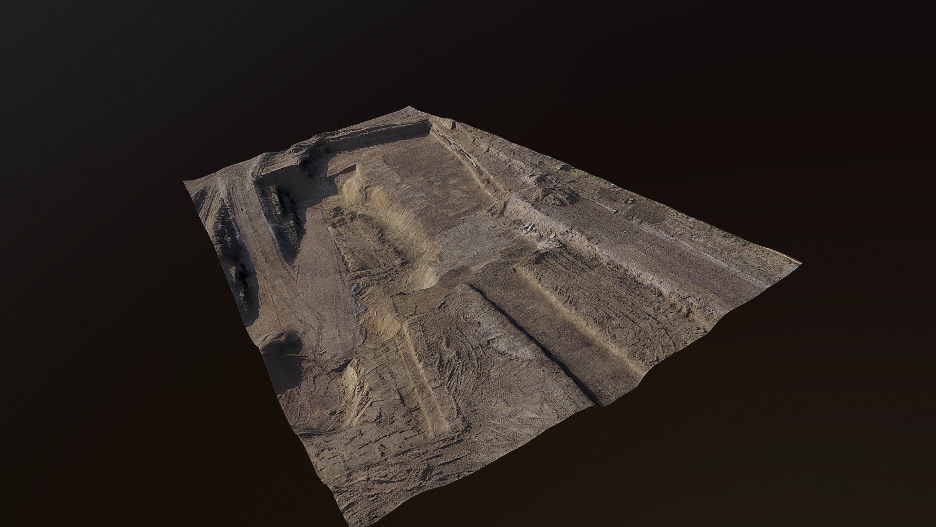
Rilievo in cantiere -ritrovamenti archeologici
sketchfab
We were tasked with creating this small relief map on short notice to document the status of the construction site after potential paleolithic remains were discovered. The area in question is believed to be a riverbed. Multiple targets (GCP) were placed as requested by the archaeologists. Flights with the drone were conducted at an altitude of 25 meters to obtain detailed and precise data for the model, orthophoto, and level curve output.
Download Model from sketchfab
With this file you will be able to print Rilievo in cantiere -ritrovamenti archeologici with your 3D printer. Click on the button and save the file on your computer to work, edit or customize your design. You can also find more 3D designs for printers on Rilievo in cantiere -ritrovamenti archeologici.
