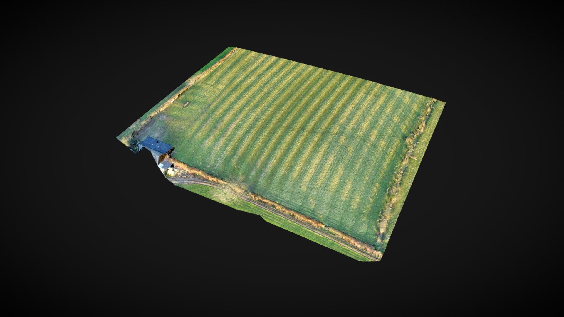
Ridge & Furrow aerial scan test
sketchfab
Quick aerial survey of a field reveals distinctive ridge and furrow patterns. Captured with a Mavic 2 Pro drone flying at 164 feet above ground level, the image set consists of 97 high-resolution photos taken over Warwickshire, England.
Download Model from sketchfab
With this file you will be able to print Ridge & Furrow aerial scan test with your 3D printer. Click on the button and save the file on your computer to work, edit or customize your design. You can also find more 3D designs for printers on Ridge & Furrow aerial scan test.
