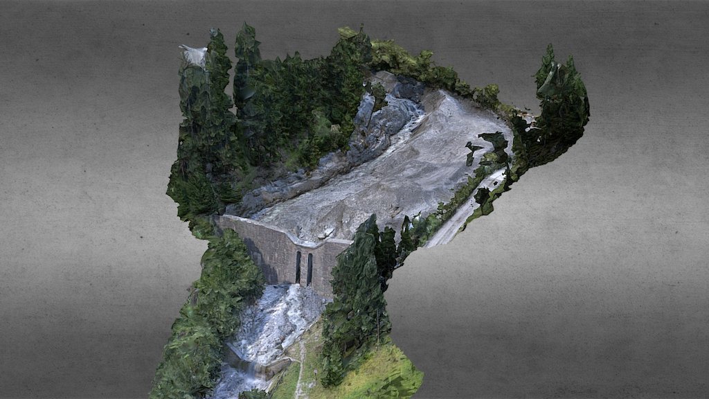
Retention basin after landslide event
sketchfab
Terrestrial survey conducted by REDcatch utilizing 3d photogrammetry techniques. Georeferencing accomplished through the implementation of REDcatch's 3D ImageVector –Mono– PPK technology, which accurately localizes image centers via GNSS postprocessing with a precision of 10cm and an accuracy of 1 degree in roll, pitch, and yaw.
Download Model from sketchfab
With this file you will be able to print Retention basin after landslide event with your 3D printer. Click on the button and save the file on your computer to work, edit or customize your design. You can also find more 3D designs for printers on Retention basin after landslide event.