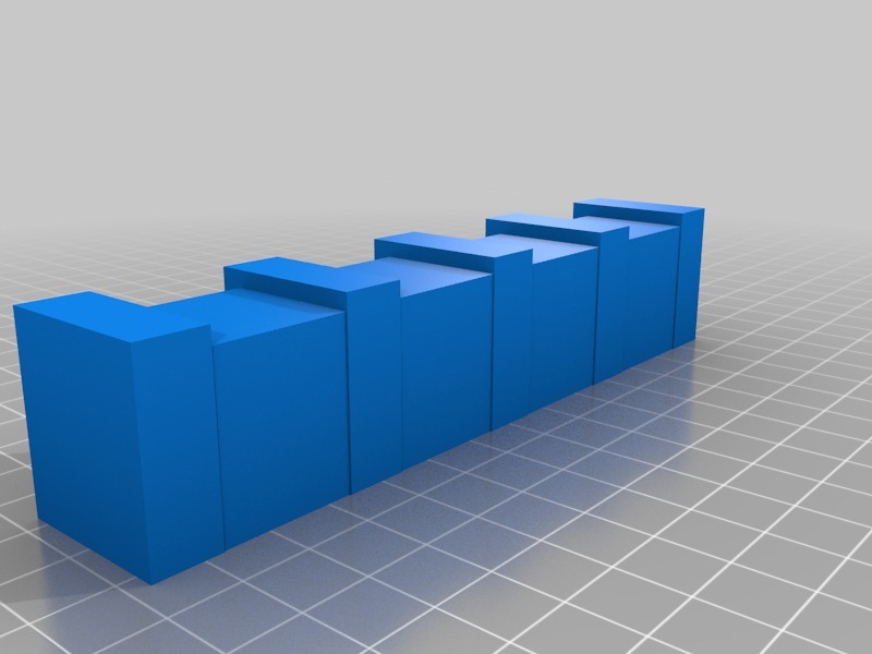
relief map Trinity
thingiverse
Relief Map Part 1: Mapping Terrain Features A relief map is a type of topographic map that displays the three-dimensional features of an area's terrain using contour lines and shading. It provides a visual representation of the landscape, allowing users to easily identify mountains, valleys, and other geographical formations. To create a relief map, cartographers use data from various sources, including satellite imagery, aerial photography, and field observations. They then apply this information to a digital model of the terrain, using software to generate contour lines and 3D visualizations. Contour lines are the foundation of a relief map. These lines connect points of equal elevation on the ground, providing a snapshot of the terrain's shape and features at different heights. By examining these lines, users can identify areas with steep slopes, deep valleys, and other critical terrain features. Shading is another key element in relief mapping. By applying shading to the contour lines, cartographers can create a 3D effect that reveals the terrain's depth and texture. This helps users visualize the landscape and understand its complexities. In this part of our series on relief maps, we'll explore how these essential components come together to create an accurate and informative representation of an area's terrain.
With this file you will be able to print relief map Trinity with your 3D printer. Click on the button and save the file on your computer to work, edit or customize your design. You can also find more 3D designs for printers on relief map Trinity.
