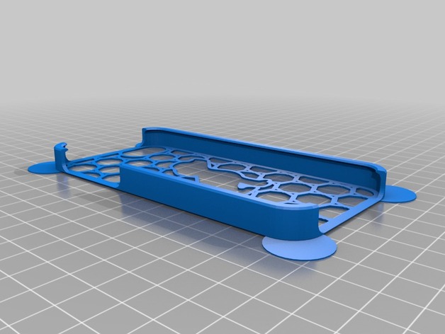
reich.Handy Hund
thingiverse
The input data is a series of points in the format `[longitude, latitude]`, along with various model specifications. However, there seems to be some missing information, as the `coordinates` value does not follow any clear structure. Here's how you might process this data: 1. Clean up the Input: You need to organize and filter this information before feeding it into a machine learning model. 2. Use Geopandas or similar libraries in Python: These will help with managing geospatial data as if they were pandas DataFrame objects, including many standard Dataframe operations (merging as an example)
With this file you will be able to print reich.Handy Hund with your 3D printer. Click on the button and save the file on your computer to work, edit or customize your design. You can also find more 3D designs for printers on reich.Handy Hund.
