Quarry Survey
sketchfab
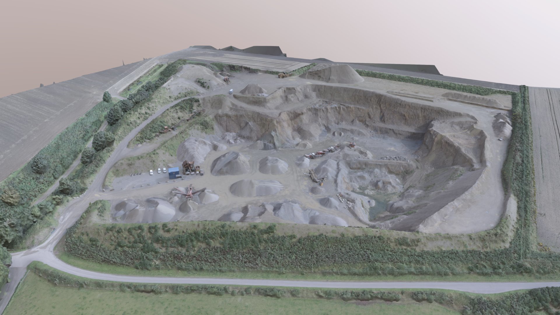
The topographic survey of a quarry site is a meticulous process that requires precision and attention to detail. It involves meticulously mapping out the terrain, identifying potential hazards, and ensuring compliance with safety regulations. To begin, surveyors must thoroughly assess the layout of the quarry, taking note of existing features such as waterways, roads, and buildings. They must also carefully examine the surrounding environment, including nearby landforms, vegetation, and wildlife habitats. Next, surveyors employ advanced technology to accurately measure the terrain, using instruments like total stations and GPS devices to gather precise data on elevations, depths, and distances. This information is then used to create detailed topographic maps, which serve as a foundation for further analysis and planning. Throughout the process, surveyors work closely with other stakeholders, including geologists, engineers, and environmental specialists, to ensure that the survey meets all relevant standards and regulations. By carefully balancing technical expertise with practical considerations, surveyors play a critical role in ensuring the safe and efficient operation of quarry sites.
With this file you will be able to print Quarry Survey with your 3D printer. Click on the button and save the file on your computer to work, edit or customize your design. You can also find more 3D designs for printers on Quarry Survey.