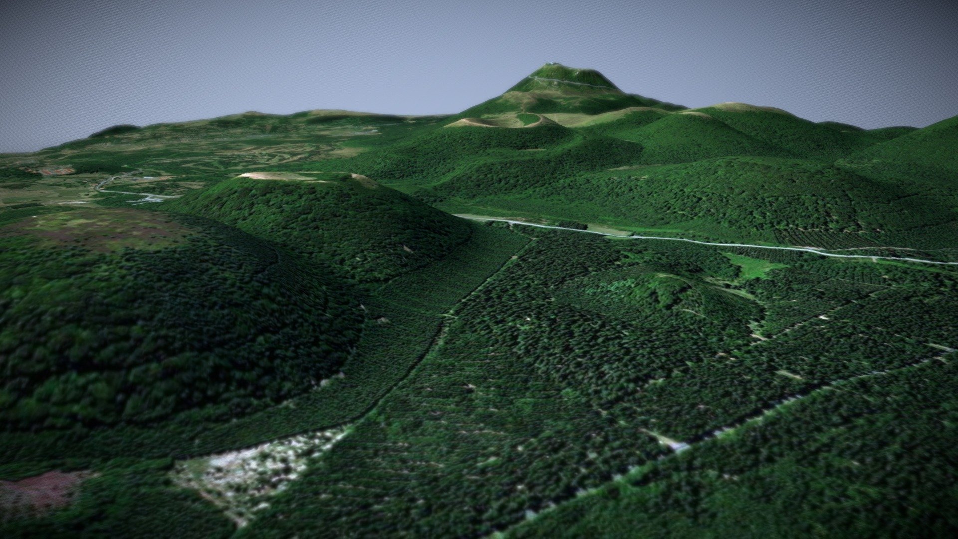
Puy De Pariou, France
sketchfab
Elevated Data Provided by DEM Net Elevation API, a Powerful Tool for Geospatial Enthusiasts - ElevationAPI.com Generated Information Based on Open Topography's SRTM GL1 Dataset - A Global Reference for Terrain Heights and Landscapes Imagery Powered by ESRI, a Leader in Geographic Information Systems and Mapping Technology
Download Model from sketchfab
With this file you will be able to print Puy De Pariou, France with your 3D printer. Click on the button and save the file on your computer to work, edit or customize your design. You can also find more 3D designs for printers on Puy De Pariou, France.