Ptarmigan Cirque
sketchfab
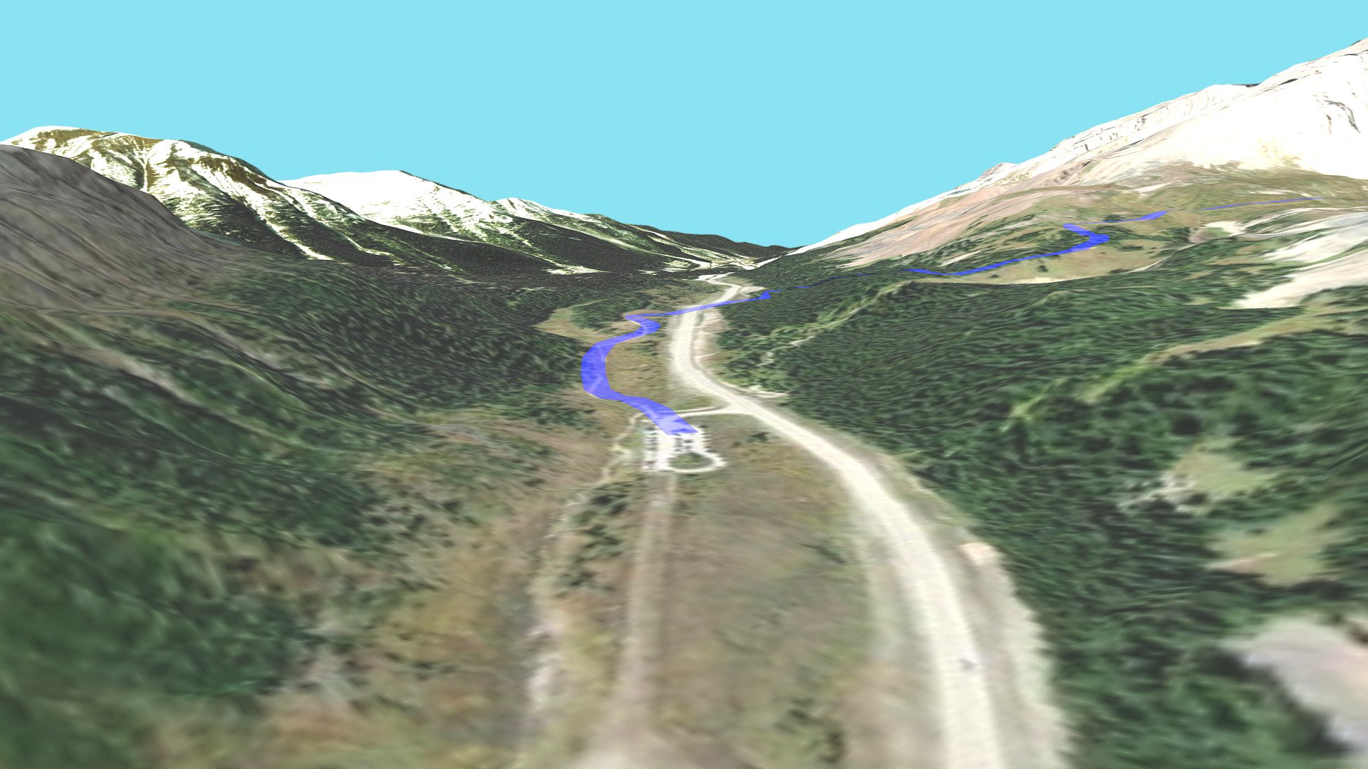
Kananaskis' Ptarmigan Cirque hiking trail unfolds across a breathtaking landscape, guided by the Digital Elevation Model's precise contours. The DEM Net Elevation API ensures accurate terrain data, while the ASTER_GDEMV3 model provides a detailed topographic map. Meanwhile, Esri World Imagery supplies vivid aerial views of the terrain, bringing the landscape to life with stunning visual clarity.
Download Model from sketchfab
With this file you will be able to print Ptarmigan Cirque with your 3D printer. Click on the button and save the file on your computer to work, edit or customize your design. You can also find more 3D designs for printers on Ptarmigan Cirque.