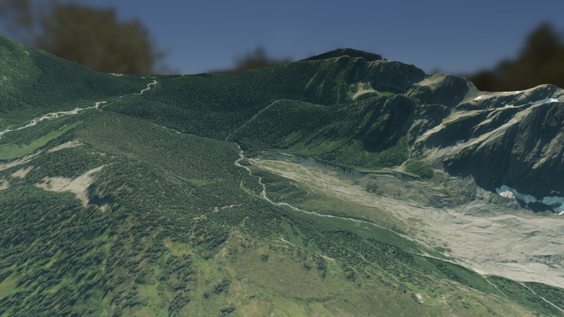
Projet Mountain Ressort B.C.
sketchfab
Airborne photography, photogrammetry, and modeling are key technologies used to create detailed 3D images of large areas. Aerial cameras capture high-resolution photos from planes or drones, which are then analyzed using photogrammetry techniques to generate accurate 3D models. These models can be used for a wide range of applications, including urban planning, environmental monitoring, and disaster response.
Download Model from sketchfab
With this file you will be able to print Projet Mountain Ressort B.C. with your 3D printer. Click on the button and save the file on your computer to work, edit or customize your design. You can also find more 3D designs for printers on Projet Mountain Ressort B.C..
