Population density maps
thingiverse
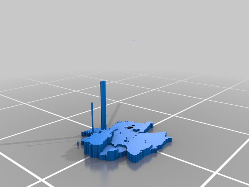
People can create 3D maps that are 10cm wide by 10cm tall, with provinces/city/state extruded using population density data. To make custom maps up to 200mm in size and height, visit https://tinyurl.com/map2stl. If bigger maps are needed, let me know. I developed an application that generates ready-to-3D-print map files with a few countries available, and comments and feedback are highly welcome! Don't forget to share your 3D printed map. Enjoy! Gradient color effects Print with a multi-color nozzle and set one color to go from 0% to 100%. Available countries • Netherlands • Sweden • United Kingdom • Germany • Ghana • Nigeria • Canada • Brazil • USA Sample source of attribute data • https://en.wikipedia.org/wiki/Provinces_of_the_Netherlands (Netherlands) • https://www.statista.com/statistics/526617/sweden-population-density-by-county/ (Sweden)
With this file you will be able to print Population density maps with your 3D printer. Click on the button and save the file on your computer to work, edit or customize your design. You can also find more 3D designs for printers on Population density maps.