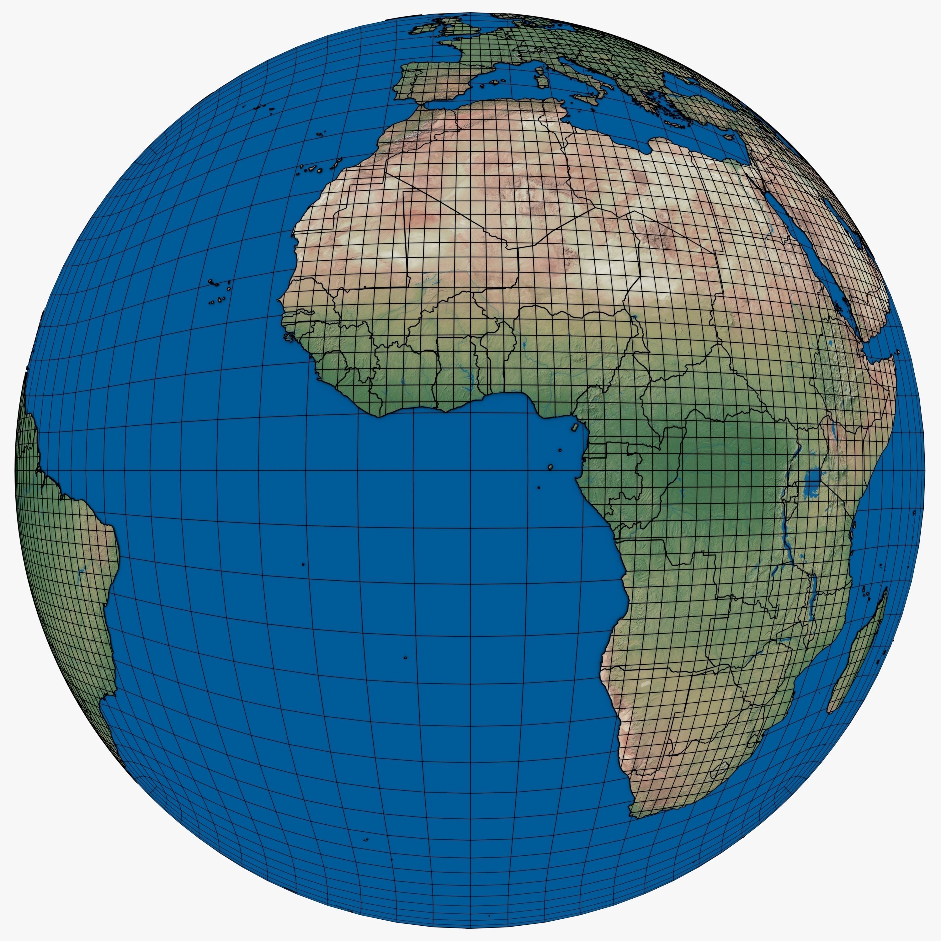
Political map of the Earth 3D model
cgtrader
This model contains 285 countries and territories, each with its unique UV-map and textures. The format is .blend. It consists of 58 European countries, 62 African, 59 Asian, 33 Australian/Oceanian, 48 North American, 15 South American countries, and 10 Antarctic territories. Notably, oceans are not considered as separate entities in this model. The European countries range from Albania to Sweden, while African nations stretch from Algeria to Zimbabwe. Asian countries include Abkhazia to United Arab Emirates, and Australian/Oceanian territories span from American Samoa to Vanuatu. North America has a diverse collection from Alaska (USA) to Salvador, and South America features Argentina to Venezuela. The Antarctic includes territories such as Amsterdam Island (France) and South Orkney Islands.
With this file you will be able to print Political map of the Earth 3D model with your 3D printer. Click on the button and save the file on your computer to work, edit or customize your design. You can also find more 3D designs for printers on Political map of the Earth 3D model.
