Península Ibérica, Europa
sketchfab
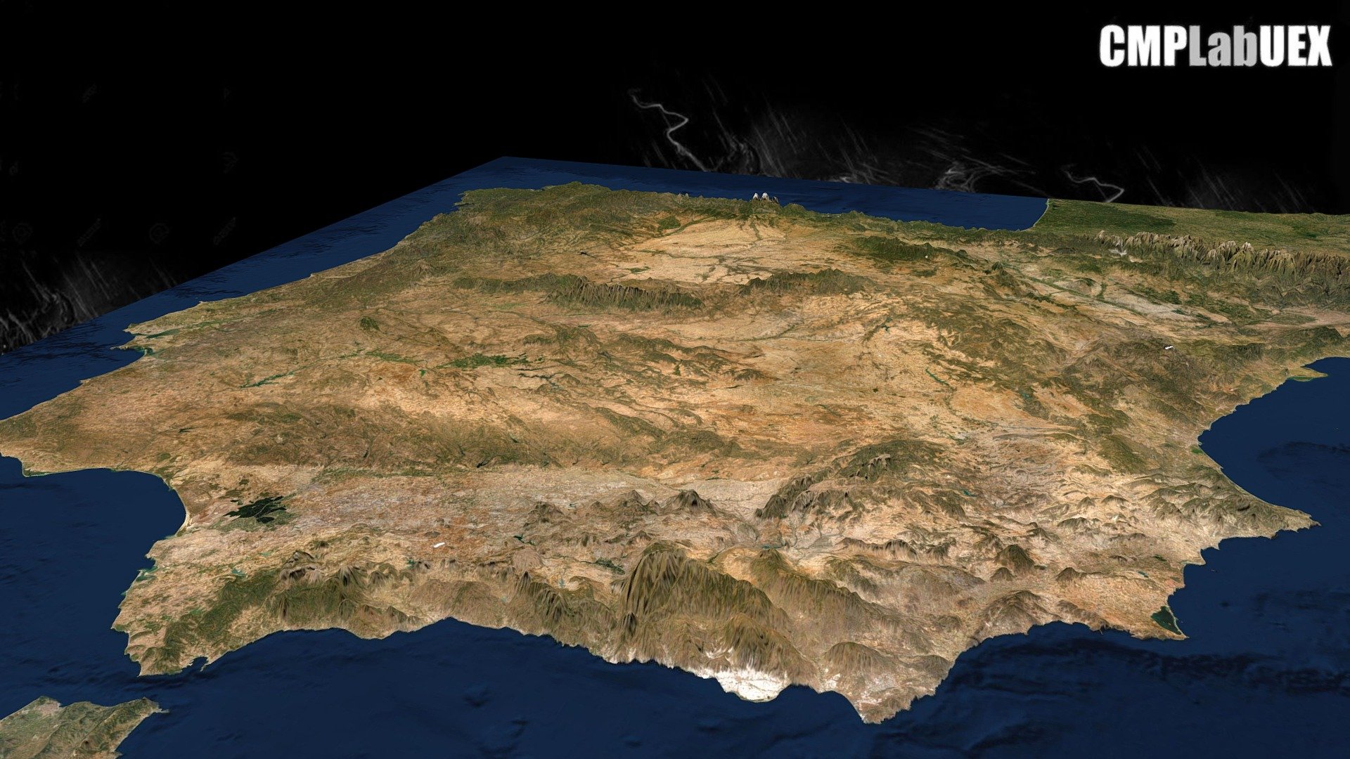
The Iberian Peninsula, with an area of 596,740 square kilometers, encompasses the continental territories of Spain and Portugal. It is one of Europe's three major southern peninsulas, alongside Italy and the Balkans. This image was generated using QGIS and Qgis2threejs. The work is a derivative of the SRTM DEM (Shuttle Radar Topography Mission, Data Version 4) and an image from Landsat through ArcGIS online World Imagery service. Vertical exaggeration is x5. You can find more information at https://osm.org/go/b_G0~. For instructions on how to make this, please see our guide here: https://tinyurl.com/y76md9bs
With this file you will be able to print Península Ibérica, Europa with your 3D printer. Click on the button and save the file on your computer to work, edit or customize your design. You can also find more 3D designs for printers on Península Ibérica, Europa.