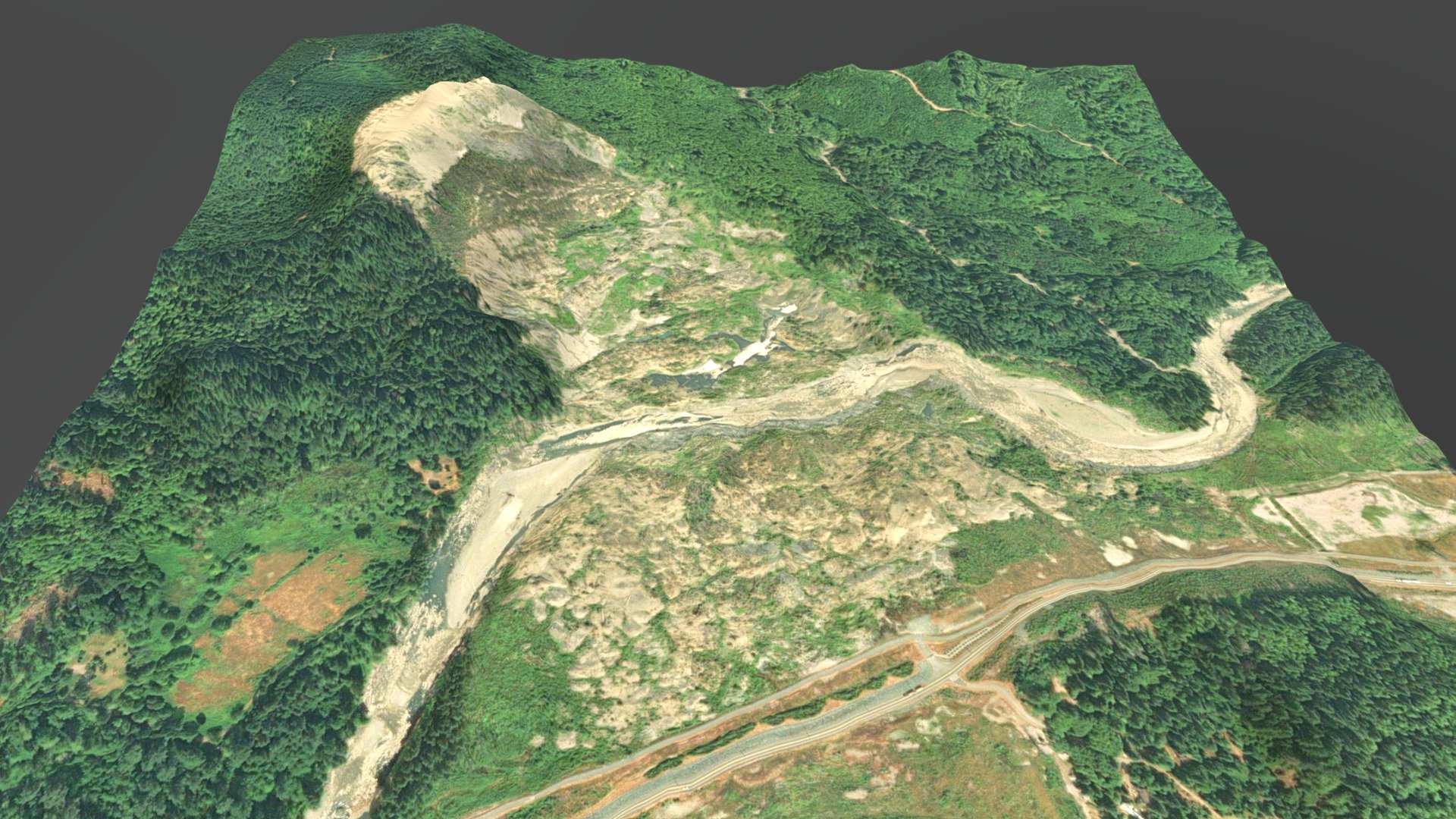
Oso, Washington Landslide
sketchfab
Oso Landslide Collapse Collapse: March 22, 2014 More Details: https://en.wikipedia.org/wiki/2014_Oso_mudslide Source Data: https://elevationapi.com/playground_3dbbox Elevation Model: ALOS World 30m (AW3D30) Data Image Provider: ESRI Global Imagery Zoom Multiplier: 1.5 Times Scale Credit: Tiles by Esri - Source Material from Esri, i-cubed, USDA, USGS, AEX, GeoEye, Getmapping, Aerogrid, IGN, IGP, UPR-EGP, and the GIS Community Group
Download Model from sketchfab
With this file you will be able to print Oso, Washington Landslide with your 3D printer. Click on the button and save the file on your computer to work, edit or customize your design. You can also find more 3D designs for printers on Oso, Washington Landslide.
