Orthophoto and DEM of urban landscape-FAE Drones
sketchfab
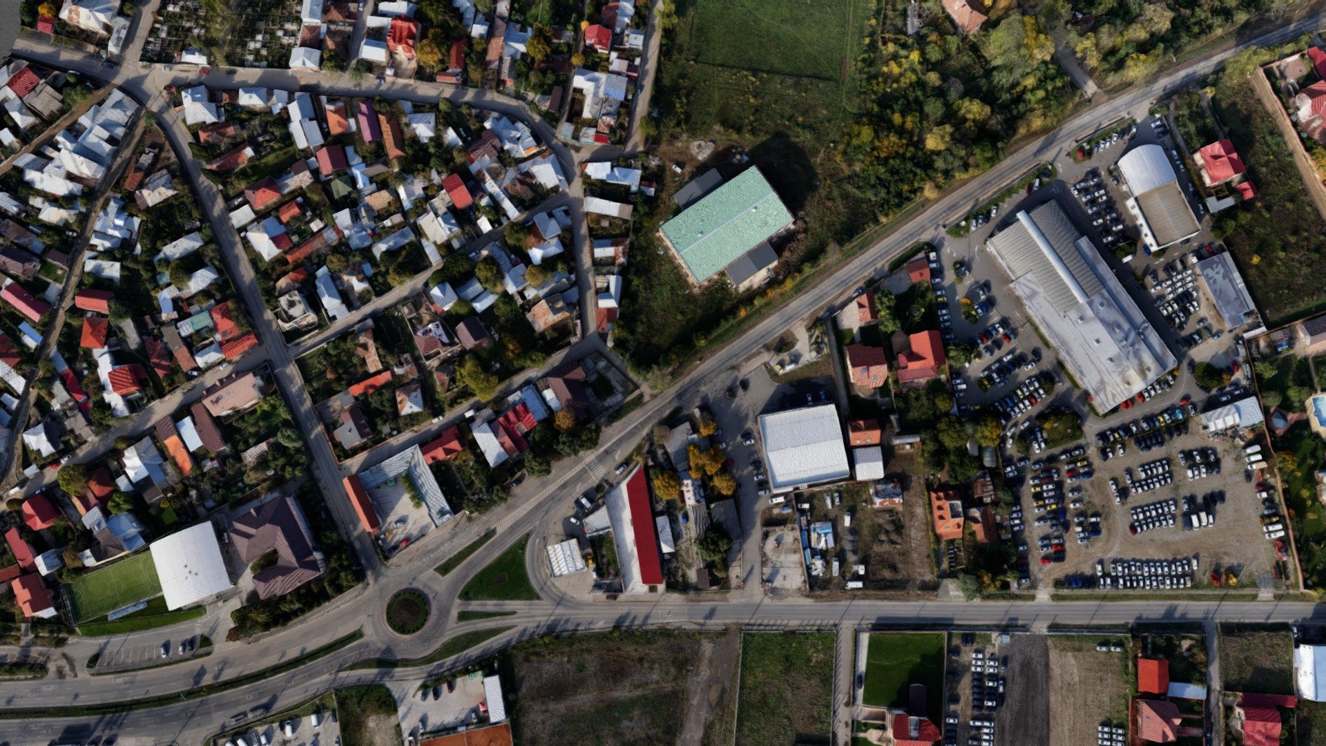
This model is designed for promotional use only, showcasing a comprehensive 20-hectare urban landscape survey captured by the FAE1115Octa drone. To fit within the size limitations of sketchfab, the model was expertly downscaled by a factor of 20. For detailed topographic and land survey services, visit www.FotografieAeriana.Eu.
Download Model from sketchfab
With this file you will be able to print Orthophoto and DEM of urban landscape-FAE Drones with your 3D printer. Click on the button and save the file on your computer to work, edit or customize your design. You can also find more 3D designs for printers on Orthophoto and DEM of urban landscape-FAE Drones.