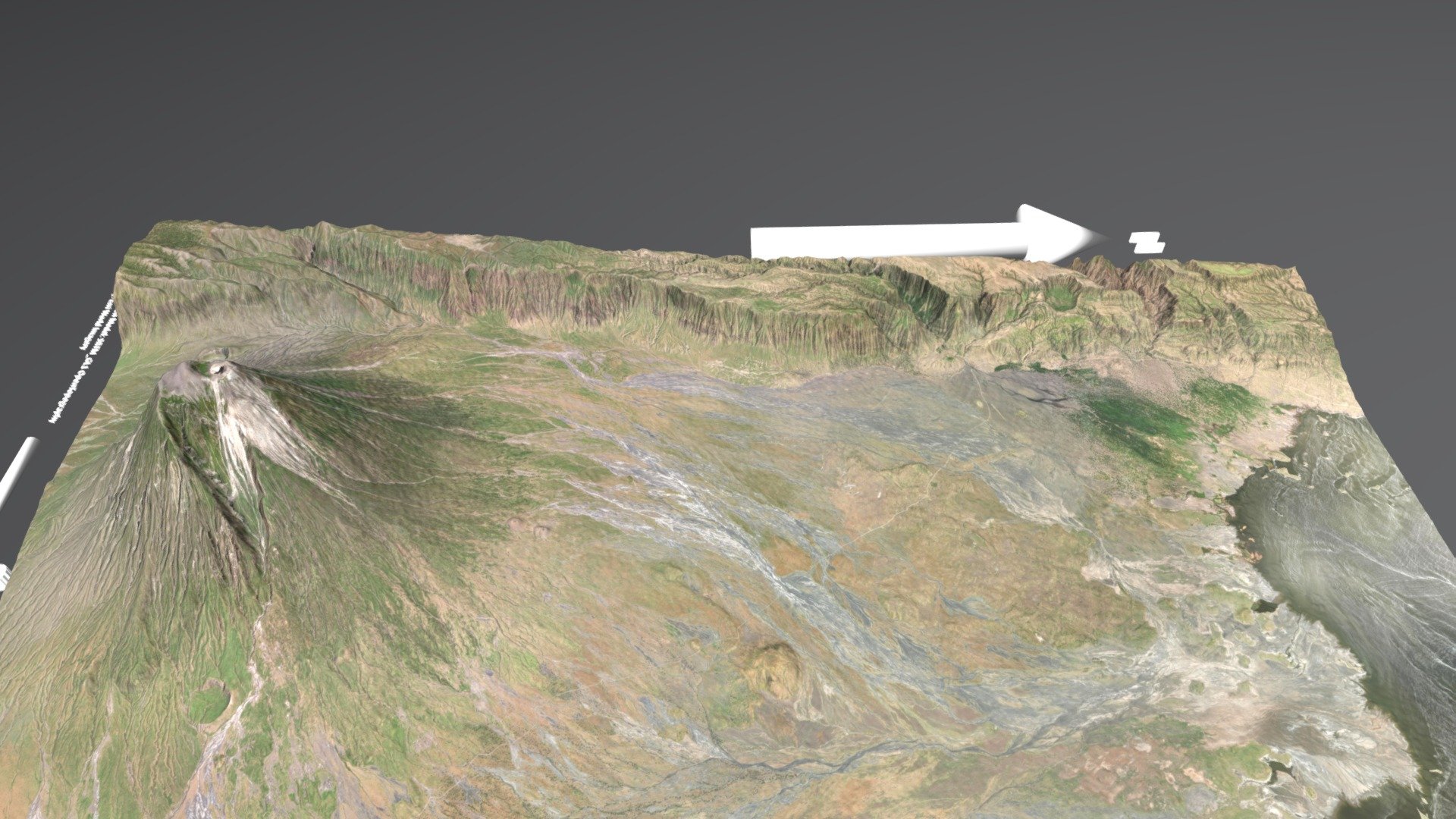
Ol Doinyo L'engai
sketchfab
Generator: Earth Elevation Data Feed API Digital Terrain Model: High-Resolution SRTM Data via OpenTopography Platform Satellite Imagery: Esri's Global Basemap Service
Download Model from sketchfab
With this file you will be able to print Ol Doinyo L'engai with your 3D printer. Click on the button and save the file on your computer to work, edit or customize your design. You can also find more 3D designs for printers on Ol Doinyo L'engai.